
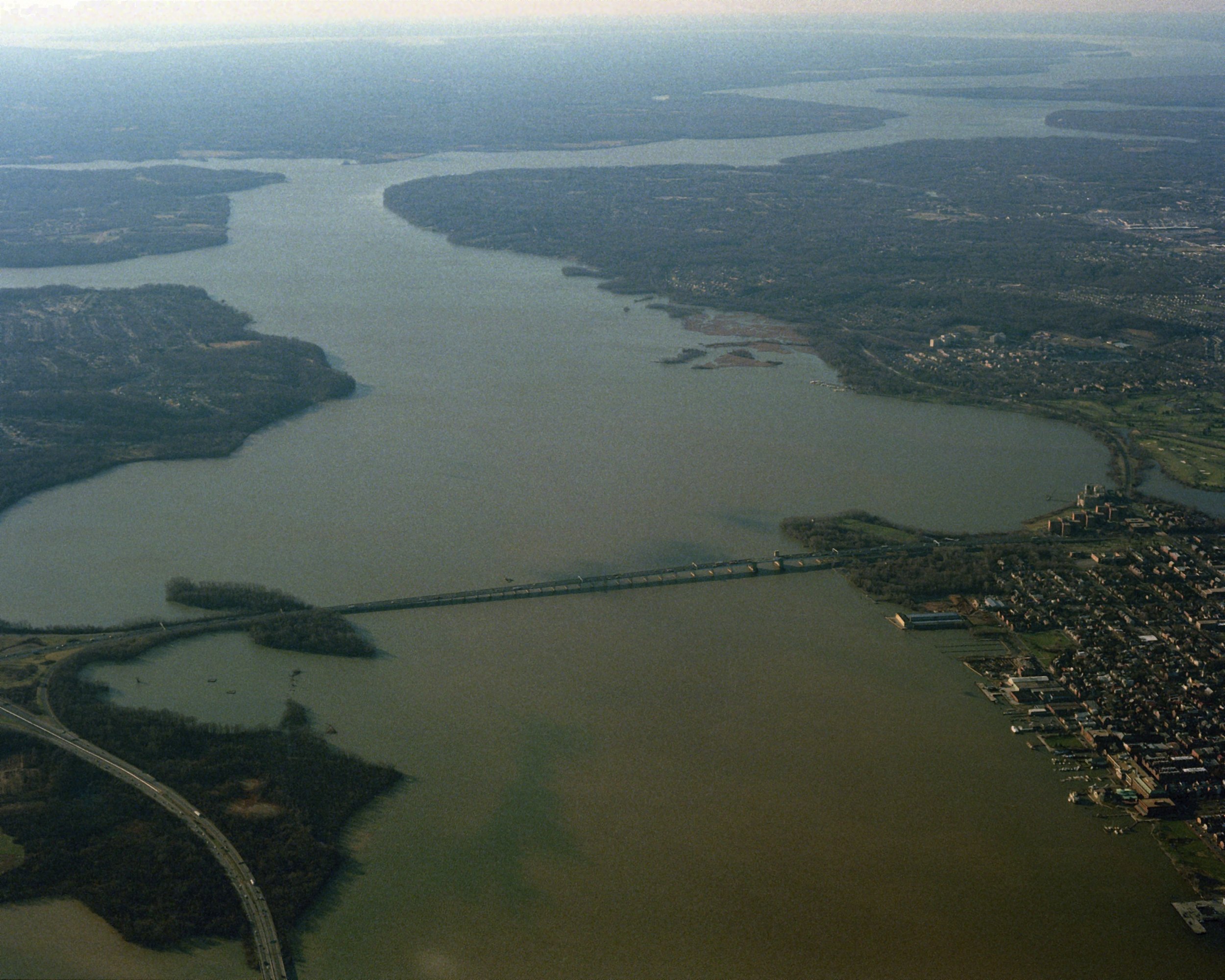
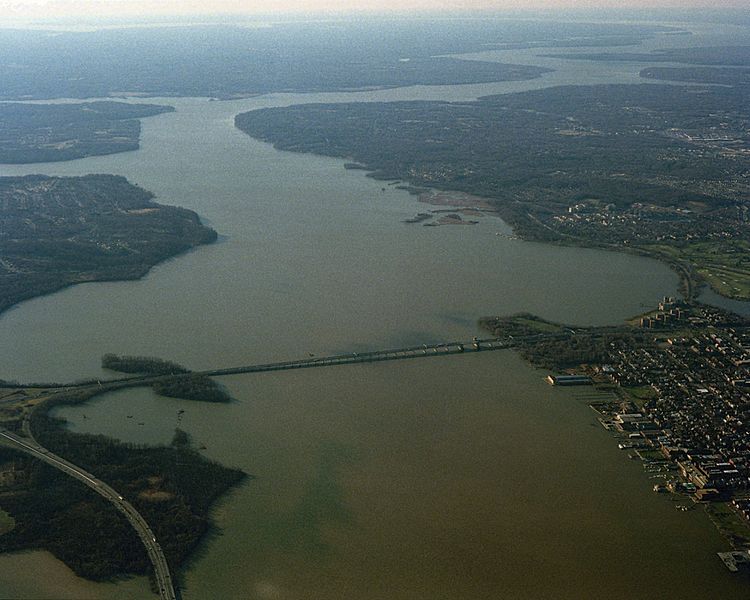
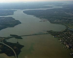
Image: Aerial view of Potomac River and Woodrow Wilson Memorial Bridge from north, 1991
Size of this preview: 750 × 600 pixels. Other resolutions: 300 × 240 pixels | 2,500 × 2,000 pixels.
Original image (2,500 × 2,000 pixels, file size: 696 KB, MIME type: image/jpeg)
Description: An aerial view of a portion of the Potomac River immediately south of Washington, District of Columbia, spanned at this point by the Woodrow Wilson Memorial Bridge. Maryland is at left, Virginia is at right.
Title: Aerial view of Potomac River and Woodrow Wilson Memorial Bridge from north, 1991
Credit: defenseimagery.mil
Author: MSGT Ken Hammond
Permission: This image is a work of a U.S. military or Department of Defense employee, taken or made as part of that person's official duties. As a work of the U.S. federal government, the image is in the public domain in the United States.
Usage Terms: Public domain
License: Public domain
Attribution Required?: No
Image usage
The following page links to this image:

All content from Kiddle encyclopedia articles (including the article images and facts) can be freely used under Attribution-ShareAlike license, unless stated otherwise.