
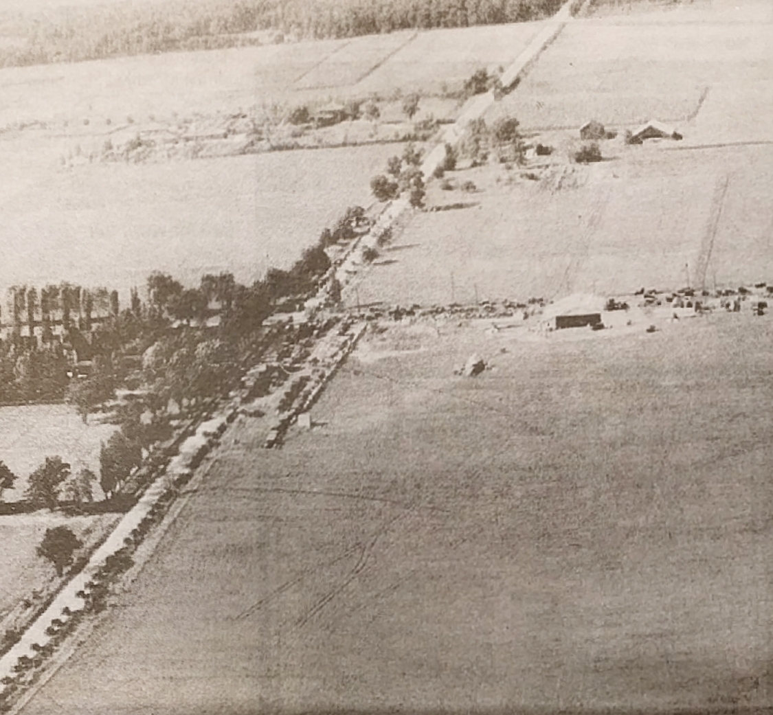
Image: Aerial photo from 1920 of modern-day Falcon Heights, Minnesota
Size of this preview: 648 × 600 pixels. Other resolutions: 259 × 240 pixels | 1,125 × 1,041 pixels.
Original image (1,125 × 1,041 pixels, file size: 666 KB, MIME type: image/jpeg)
Description: Snelling and Larpenteur Avenues with the Quinn farm and Curtiss Northwest Airport
Title: Aerial photo from 1920 of modern-day Falcon Heights, Minnesota
Credit: St. Anthony Park/Falcon Heights/Lauderdale/Como Park Park Bugle. May 2017. Page 7. www.parkbugle.org. Reproduced from the Minnesota Aviation Hall of Fame.
Author: Runner1928
Usage Terms: Public domain
License: Public domain
Attribution Required?: No
Image usage
The following page links to this image:

All content from Kiddle encyclopedia articles (including the article images and facts) can be freely used under Attribution-ShareAlike license, unless stated otherwise.