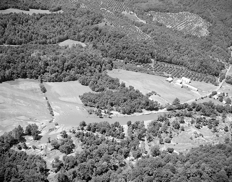
Image: Aerial View of Tyro (7797534024)

Size of this preview: 765 × 600 pixels. Other resolutions: 306 × 240 pixels | 5,550 × 4,350 pixels.
Original image (5,550 × 4,350 pixels, file size: 1.86 MB, MIME type: image/jpeg)
Description: This aerial image shows the Tyro area in Nelson County. Rt. 56 runs along the Tye River, which flooded many homes in the area. Severe flash flooding caused fatal mudslides in Nelson. No. 69-2168, Virginia Governor's Negative Collection, Library of Virginia.
Title: Aerial View of Tyro (7797534024)
Credit: Aerial View of Tyro
Author: The Library of Virginia from USA
Permission: The Library of Virginia @ Flickr Commons
Usage Terms: No known copyright restrictions
License: No restrictions
License Link: https://www.flickr.com/commons/usage/
Attribution Required?: No
Image usage
The following page links to this image:

All content from Kiddle encyclopedia articles (including the article images and facts) can be freely used under Attribution-ShareAlike license, unless stated otherwise.
