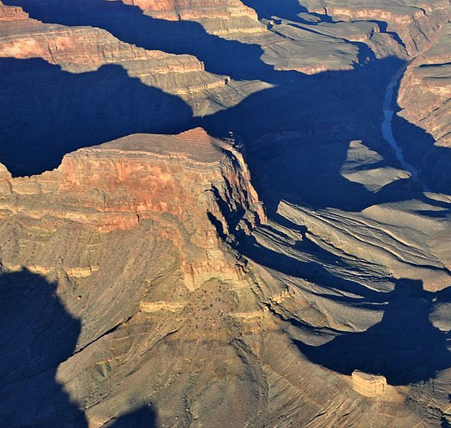
Image: Aerial View of Geikie Peak

Size of this preview: 632 × 600 pixels. Other resolutions: 253 × 240 pixels | 1,342 × 1,274 pixels.
Original image (1,342 × 1,274 pixels, file size: 433 KB, MIME type: image/jpeg)
Description: Sunrise aerial view of Geikie Peak, with Scylla Butte in lower right. This photo is a view from one of the routes in the National Park Service (NPS) Preferred Alternative within the Draft Environmental Impact Statement (EIS), Special Flight Rules Area in the Vicinity of Grand Canyon National Park (GCNP), illustrating the high quality scenic views and grandeur of GCNP.
Title: Aerial View of Geikie Peak
Credit: File:Grand Canyon DEIS Aerial Colorado River, Geikie Peak (5477155394).jpg
Author: Grand Canyon National Park
Usage Terms: Creative Commons Attribution 2.5
License: CC BY 2.5
License Link: https://creativecommons.org/licenses/by/2.5
Attribution Required?: Yes
Image usage
The following page links to this image:

All content from Kiddle encyclopedia articles (including the article images and facts) can be freely used under Attribution-ShareAlike license, unless stated otherwise.
