Image: Aerial-CAvalleyCommCtr
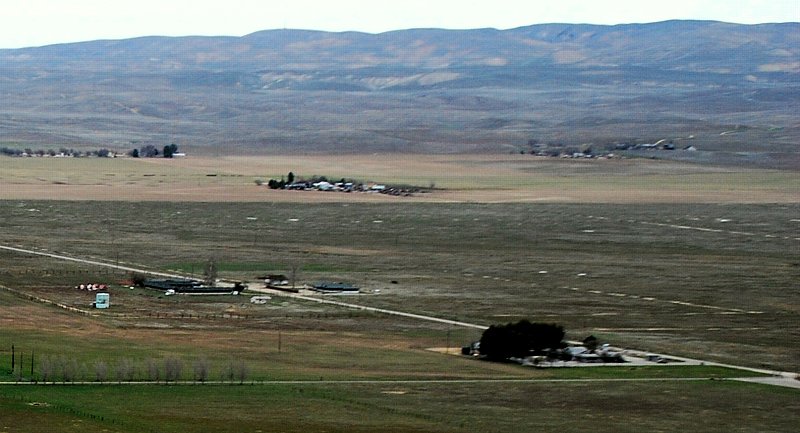
Description: Aerial view of California Valley Community Center (lower right). Soda Lake Road is visible running diagonally upward toward the left, and the northern end of the airport runway is at the right edge next to the community center. The community of California Valley is near the usually dry Soda Lake, and Painted Rock on the Carrizo Plain. Located in San Luis Obispo County - California.
Title: Aerial-CAvalleyCommCtr
Credit: Own work
Author: John Wiley User:Jw4nvc - Santa Barbara, California
Permission: This work is free and may be used by anyone for any purpose. If you wish to use this content, you do not need to request permission as long as you follow any licensing requirements mentioned on this page. Wikimedia has received an e-mail confirming that the copyright holder has approved publication under the terms mentioned on this page. This correspondence has been reviewed by an OTRS member and stored in our permission archive. The correspondence is available to trusted volunteers as ticket #2009071510014875. If you have questions about the archived correspondence, please use the OTRS noticeboard. Ticket link: https://ticket.wikimedia.org/otrs/index.pl?Action=AgentTicketZoom&TicketNumber=2009071510014875 *For full details on Permissions for this user's work, see: User:Jw4nvc/permission/details
Usage Terms: Creative Commons Attribution 3.0
License: CC BY 3.0
License Link: http://creativecommons.org/licenses/by/3.0
Attribution Required?: Yes
Image usage
The following page links to this image:


