
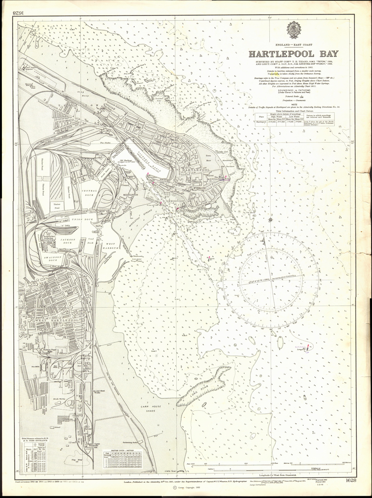
Image: Admiralty Chart No 1628 Hartlepool Bay, Published 1962
Size of this preview: 448 × 599 pixels. Other resolutions: 179 × 240 pixels | 8,263 × 11,046 pixels.
Original image (8,263 × 11,046 pixels, file size: 27.42 MB, MIME type: image/jpeg)
Description: Nautical chart of Hartlepool Bay, at a scale of 1:8065. Surveyed by Staff Comdr. T.H. Tizard, H.M.S. Triton, 1884 and by Liet. Comdr. A. Day, H.M. Surveying Ship Fitzroy, 1932. Not current - not to be used for navigation!
Title: Admiralty Chart No 1628 Hartlepool Bay, Published 1962
Credit: Scan of original Admiralty Chart
Author: W.J.L. Wharton
Usage Terms: Public domain
License: Public domain
Attribution Required?: No
Image usage
The following page links to this image:

All content from Kiddle encyclopedia articles (including the article images and facts) can be freely used under Attribution-ShareAlike license, unless stated otherwise.