
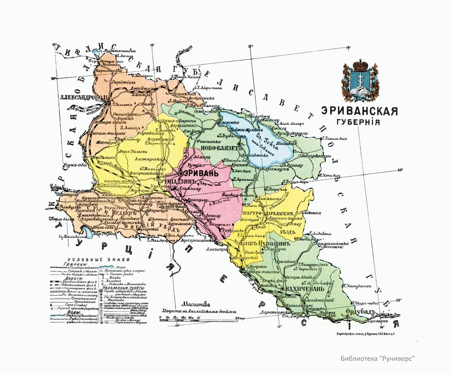
Image: Administrative map of Erivan Governorate - 1913
Size of this preview: 724 × 599 pixels. Other resolutions: 290 × 240 pixels | 1,491 × 1,234 pixels.
Original image (1,491 × 1,234 pixels, file size: 443 KB, MIME type: image/gif)
Description: Administrative map of Kars Oblast: showing the main settlements.
Title: Administrative map of Erivan Governorate - 1913
Credit: II. Азiатская Россiя. XV. Кавказскiй край. — Эриванская губерния, стр. 80 // Россiя. Географическое описанiе Россiйской Имперiи по губернiямъ и областямъ съ географическими картами. Санкт–Петербургь: Типографія "Бережливость", 1913.
Author: Русский: Отпечатано в картографическом заведении Д. М. Руднева в Санкт—Петербурге.
Usage Terms: Public domain
License: Public domain
Attribution Required?: No
Image usage
The following page links to this image:

All content from Kiddle encyclopedia articles (including the article images and facts) can be freely used under Attribution-ShareAlike license, unless stated otherwise.