
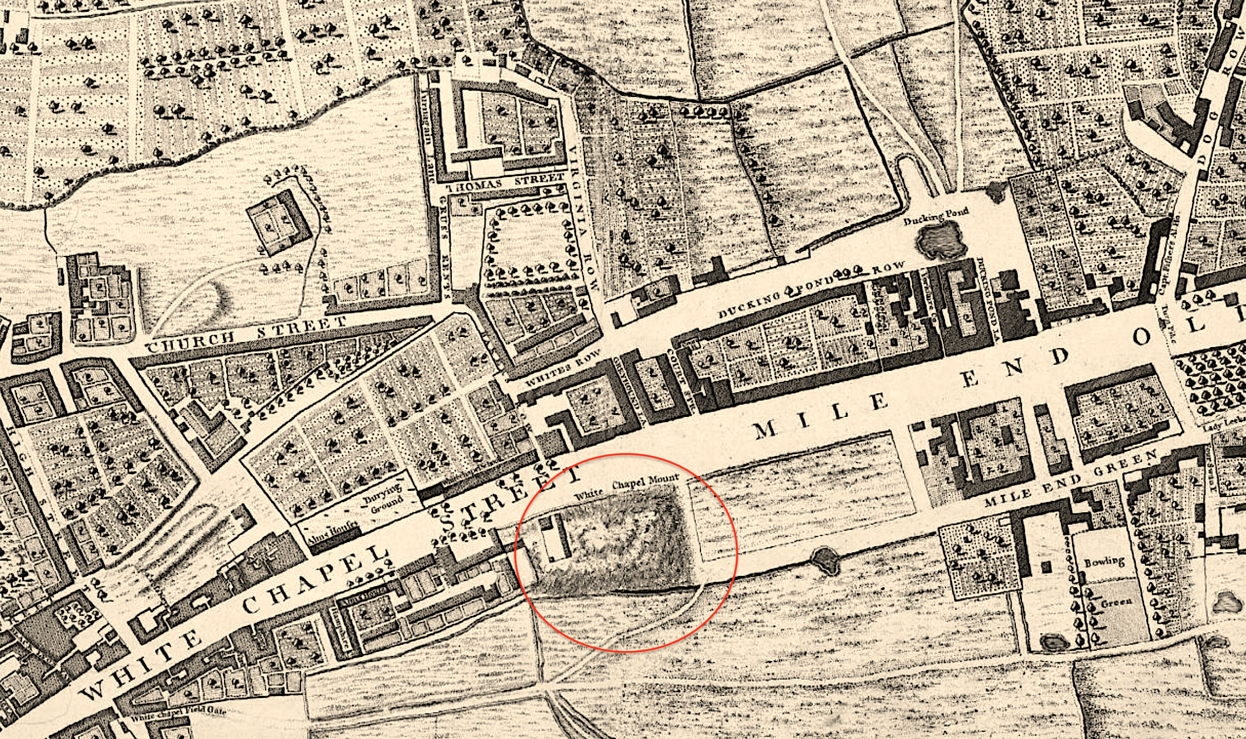
Image: A fragment of Roque's map (1746) showing the location of Whitechapel Mount
Size of this preview: 800 × 474 pixels. Other resolutions: 320 × 190 pixels | 2,430 × 1,441 pixels.
Original image (2,430 × 1,441 pixels, file size: 6.39 MB, MIME type: image/png)
Description: A fragment of John Rocque's map of London (1746) showing the location of the Mount in the Road
Title: A fragment of Roque's map (1746) showing the location of Whitechapel Mount
Credit: Map of LONDON, WESTMINSTER AND SOUTHWARK
Author: John Rocque
Usage Terms: Public domain
License: Public domain
Attribution Required?: No
Image usage
The following page links to this image:

All content from Kiddle encyclopedia articles (including the article images and facts) can be freely used under Attribution-ShareAlike license, unless stated otherwise.
_showing_the_location_of_Whitechapel_Mount.png)