
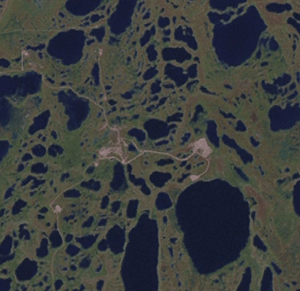
Image: 93.81579W 58.73512N Fort Churchill spaceport
No higher resolution available.
93.81579W_58.73512N_Fort_Churchill_spaceport.png (616 × 598 pixels, file size: 487 KB, MIME type: image/png)
Description: NASA Landsat 7 view of the Fort Churchill launch site in northern Manitoba, Canada.
Title: 93.81579W 58.73512N Fort Churchill spaceport
Credit: NASA World Wind, using the Landsat 7 Pseudo overly, about 6.5 km altitude.
Author: NASA
Usage Terms: Public domain
License: Public domain
Attribution Required?: No
Image usage
The following page links to this image:

All content from Kiddle encyclopedia articles (including the article images and facts) can be freely used under Attribution-ShareAlike license, unless stated otherwise.