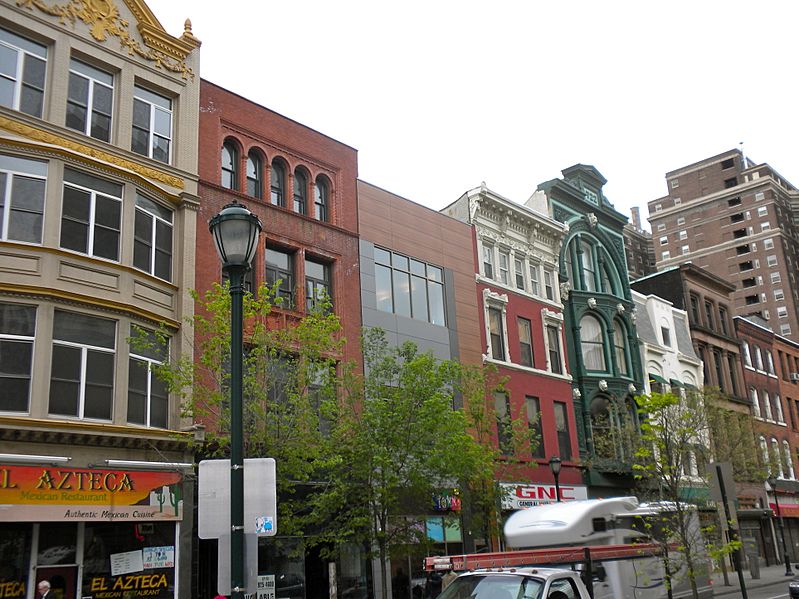
Image: 700 block Chestnut Philly

Size of this preview: 799 × 599 pixels. Other resolutions: 320 × 240 pixels | 3,849 × 2,887 pixels.
Original image (3,849 × 2,887 pixels, file size: 3.28 MB, MIME type: image/jpeg)
Description: South side of the 700 block of Chestnut Street in Philadelphia. (Green Building is 722) This is part of the fairly large East Center City Commercial Historic District on the NRHP since July 5, 1984, on the eastern edge. The Historic District is roughly bounded by 6th (on the east) , Juniper (west), Market (west) and Locust Streets (south) in (and overflowing) the Washington Square neighborhood. Coordinates below are for 722 Chestnut. Coordinates given by NRHP for the district are 39°57′5″N 75°9′33″W
Title: 700 block Chestnut Philly
Credit: Own work
Author: Smallbones
Usage Terms: Public domain
License: Public domain
Attribution Required?: No
Image usage
The following page links to this image:

All content from Kiddle encyclopedia articles (including the article images and facts) can be freely used under Attribution-ShareAlike license, unless stated otherwise.
