
Image: 40 mile loop map
Size of this preview: 800 × 566 pixels. Other resolutions: 320 × 226 pixels | 2,718 × 1,922 pixels.
Original image (2,718 × 1,922 pixels, file size: 139 KB, MIME type: image/png)
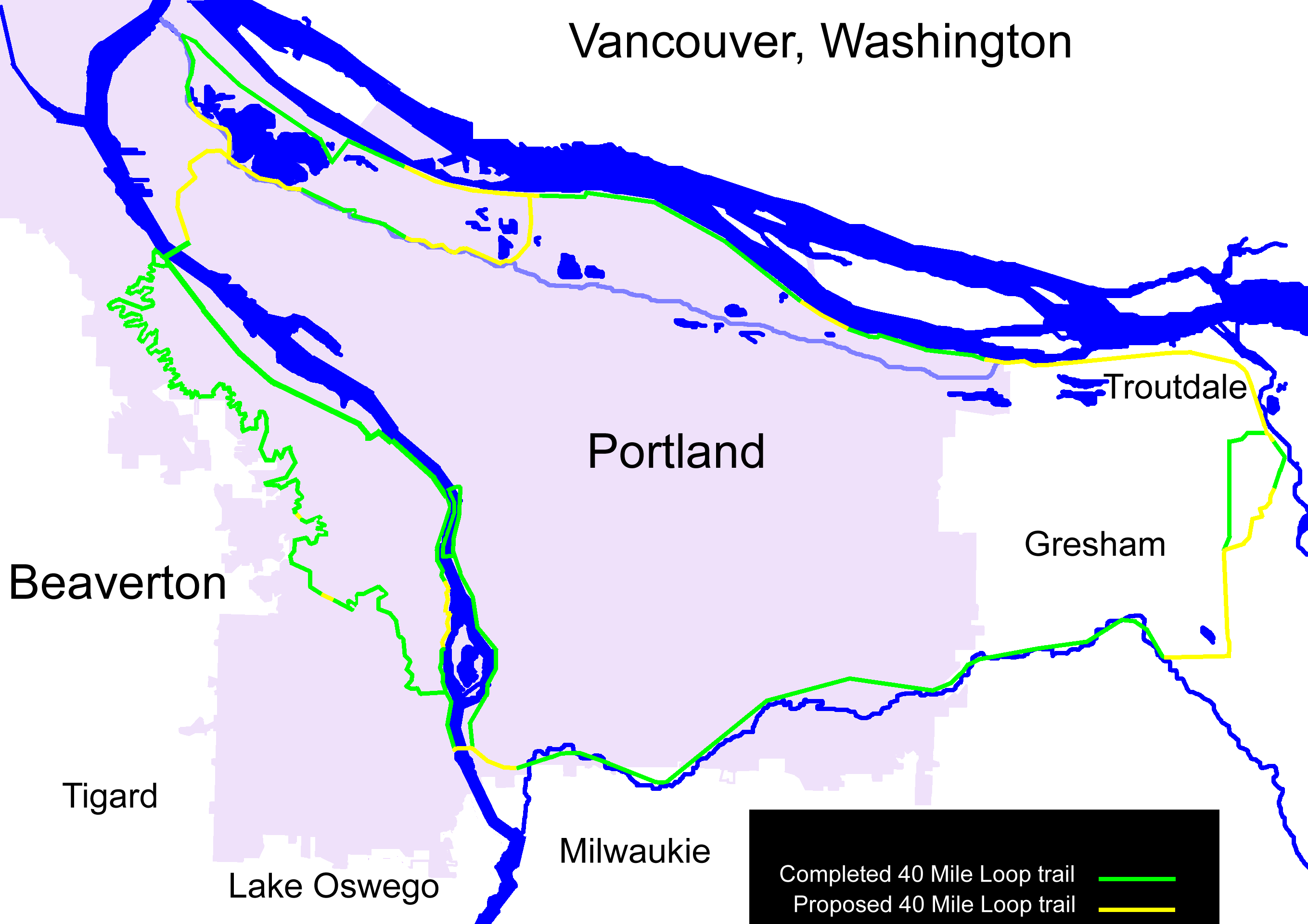
Description: Map of the 40 Mile Loop greenway around Portland, Oregon, a 140 mile path connecting city parks. The green portions are complete; the yellow portions are proposed. Created based on Portland City Limits and Urban Service Boundary and 40 Mile Loop Land Trust map.
Title: 40 mile loop map
Credit: Own work
Author: EncMstr
Usage Terms: Creative Commons Attribution-Share Alike 3.0
License: CC BY-SA 3.0
License Link: https://creativecommons.org/licenses/by-sa/3.0
Attribution Required?: Yes
Image usage
The following page links to this image:

All content from Kiddle encyclopedia articles (including the article images and facts) can be freely used under Attribution-ShareAlike license, unless stated otherwise.