
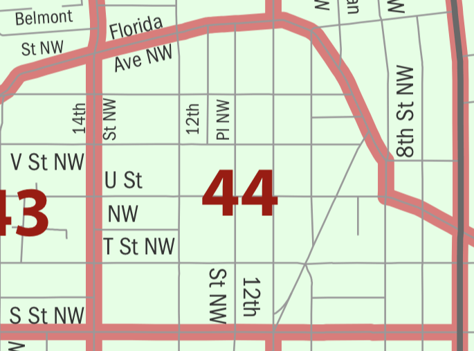
Image: 2010 census map of Tract 44, Washington, D.C
No higher resolution available.
2010_census_map_of_Tract_44,_Washington,_D.C.png (685 × 507 pixels, file size: 39 KB, MIME type: image/png)
Description: 2010 census map of Tract 44, Washington, D.C.
Title: 2010 census map of Tract 44, Washington, D.C
Credit: https://www2.census.gov/geo/maps/dc10map/tract/st11_dc/c11001_district_of_columbia/DC10CT_C11001_001.pdf
Author: U.S. Census Bureau
Usage Terms: Public domain
License: Public domain
Attribution Required?: No
Image usage
The following page links to this image:

All content from Kiddle encyclopedia articles (including the article images and facts) can be freely used under Attribution-ShareAlike license, unless stated otherwise.