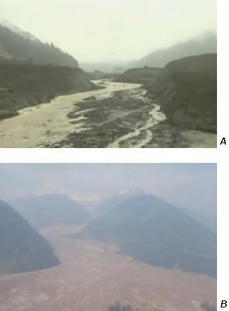
Image: 2010 Meager debris flow
2010_Meager_debris_flow.jpg (324 × 441 pixels, file size: 12 KB, MIME type: image/jpeg)
Description: River valleys filled with debris from 2010 landslide of the Mount Meager massif. Aerial views of the collapsed debris dam near the intersection of Capricorn Creek and Meager Creek (A) and the debris flow at the junction of Meager Creek and the Lillooet River.
Title: 2010 Meager debris flow
Credit: Own work
Author: Black Tusk
Usage Terms: Creative Commons Attribution 3.0
License: CC BY 3.0
License Link: http://creativecommons.org/licenses/by/3.0
Attribution Required?: Yes
Image usage
The following page links to this image:

All content from Kiddle encyclopedia articles (including the article images and facts) can be freely used under Attribution-ShareAlike license, unless stated otherwise.

