
Image: 1919 map Worcester Massachusetts BPL
Size of this preview: 485 × 599 pixels. Other resolutions: 194 × 240 pixels | 829 × 1,024 pixels.
Original image (829 × 1,024 pixels, file size: 293 KB, MIME type: image/jpeg)
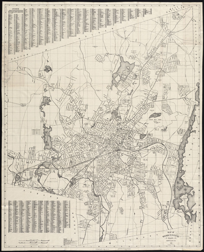
Description: Map of Worcester Mass., USA Publisher: Drew, Allis & Co. Date: 1919 Location: Worcester (Mass.) Dimension 86 x 70 cm. Scale: [ca. 1:15,600]
Title: 1919 map Worcester Massachusetts BPL
Credit: Boston Public Library http://maps.bpl.org/id/12930
Author: Bailey
Permission: Drew, Allis & Co.
Usage Terms: Public domain
License: Public domain
Attribution Required?: No
Image usage
The following page links to this image:

All content from Kiddle encyclopedia articles (including the article images and facts) can be freely used under Attribution-ShareAlike license, unless stated otherwise.