
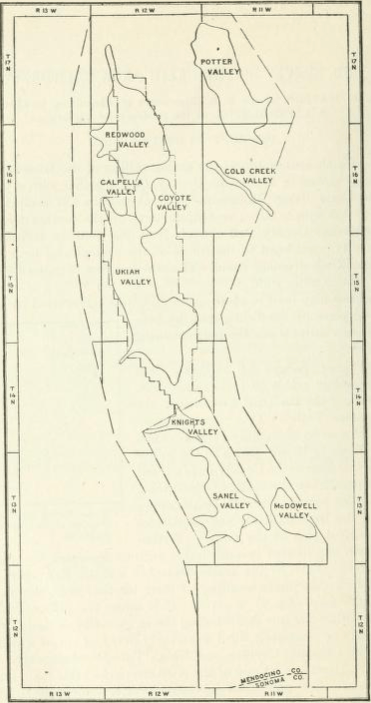
Image: 1914 sketch map of Ukiah area
Size of this preview: 316 × 599 pixels. Other resolutions: 126 × 240 pixels | 371 × 703 pixels.
Original image (371 × 703 pixels, file size: 150 KB, MIME type: image/png)
Description: 1914 sketch map of Ukiah area of Mendocino County, California showing location of arable valleys
Title: 1914 sketch map of Ukiah area
Credit: Due to file size or type limitations, this file is a reduced resolution or reduced quality version of the original file. The original version is available at the Internet Archive.
Author: Unknown authorUnknown author
Usage Terms: Public domain
License: Public domain
Attribution Required?: No
Image usage
The following page links to this image:

All content from Kiddle encyclopedia articles (including the article images and facts) can be freely used under Attribution-ShareAlike license, unless stated otherwise.