
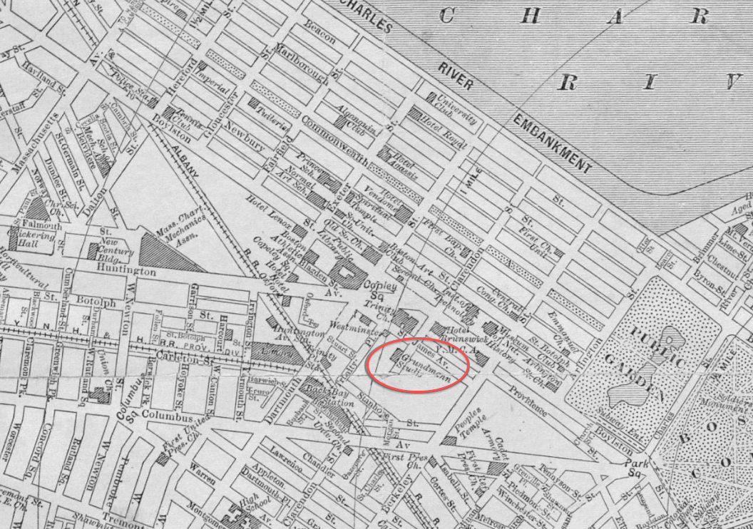
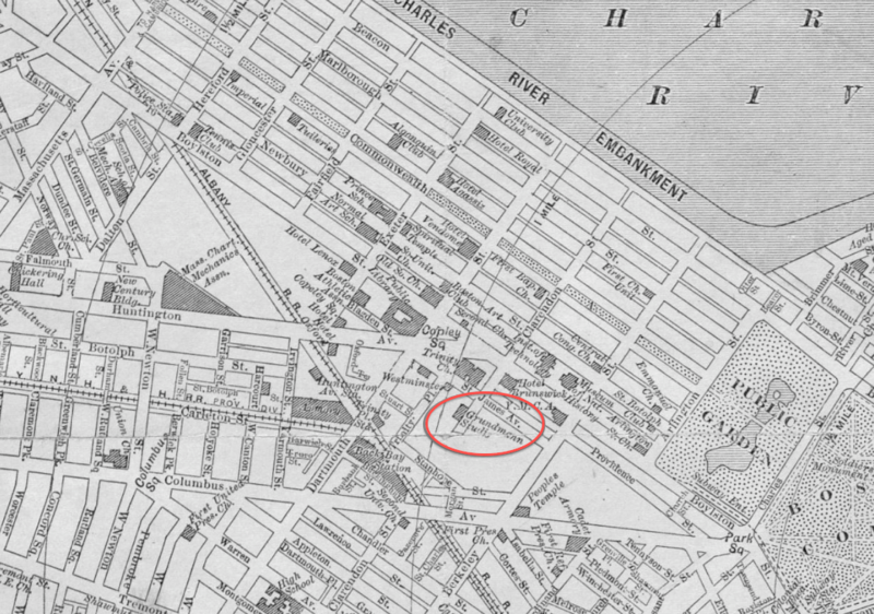
Image: 1911 GrundmannStudios Boston map bySampsonMurdockCo BPL 12558 detail
Size of this preview: 800 × 562 pixels. Other resolutions: 320 × 225 pixels | 1,056 × 742 pixels.
Original image (1,056 × 742 pixels, file size: 658 KB, MIME type: image/png)
Description: Detail of "New map of the central portion of Boston," Massachusetts, USA, 1911.
Title: 1911 GrundmannStudios Boston map bySampsonMurdockCo BPL 12558 detail
Credit: Boston Public Library, Norman B. Leventhal Map Center. http://maps.bpl.org/details_12558
Author: Sampson, Murdock & Co.
Usage Terms: Public domain
License: Public domain
Attribution Required?: No
Image usage
The following page links to this image:

All content from Kiddle encyclopedia articles (including the article images and facts) can be freely used under Attribution-ShareAlike license, unless stated otherwise.