
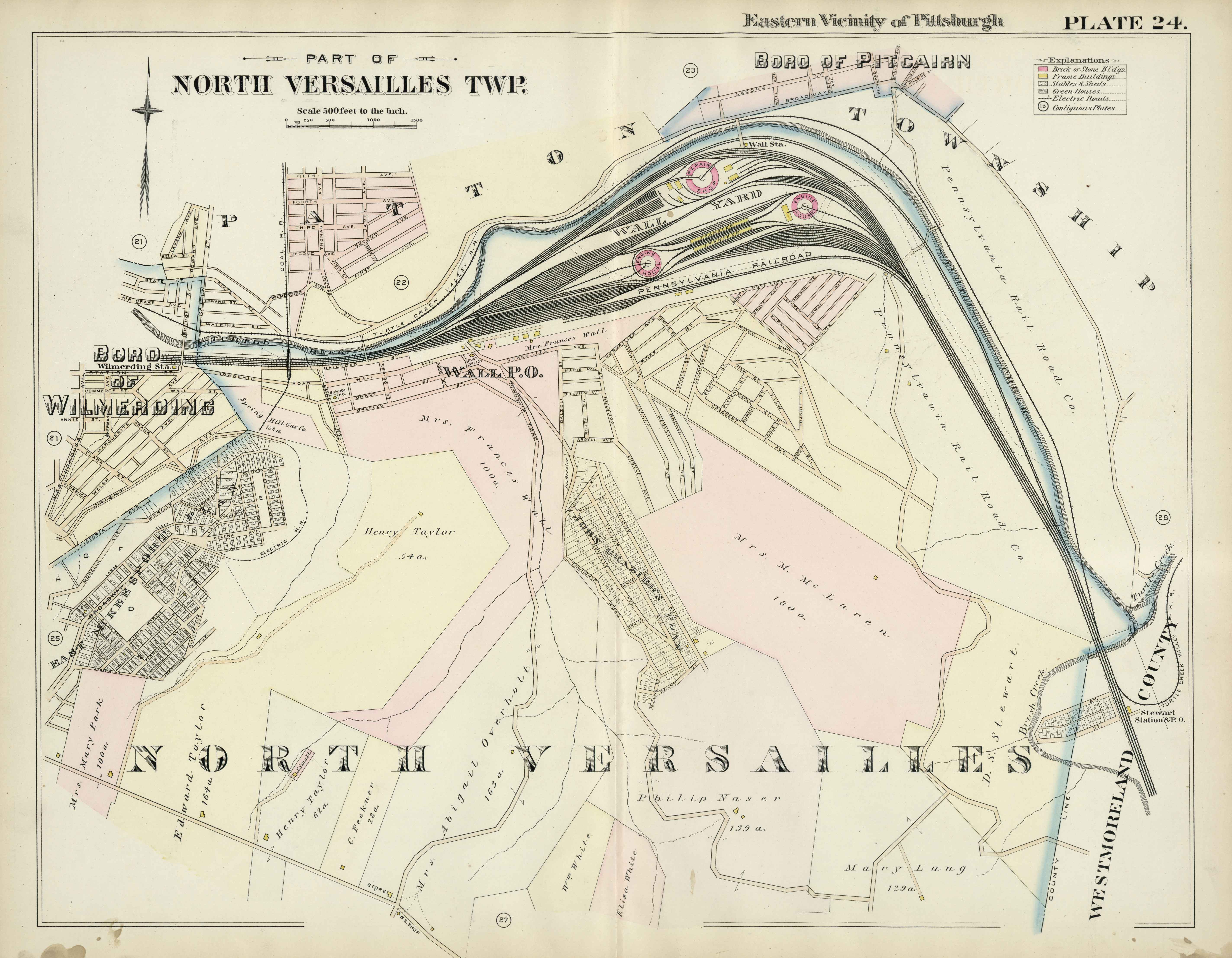
Image: 1895 Hopkins map of Wall Yard
Size of this preview: 771 × 599 pixels. Other resolutions: 309 × 240 pixels | 5,692 × 4,424 pixels.
Original image (5,692 × 4,424 pixels, file size: 1.58 MB, MIME type: image/jpeg)
Description: 1895 Hopkins map of Wall Yard near Pitcairn, PA. This map shows the rail-yard constructed by the Pennsylvania Railroad Company in the late 19th century in North Versailles Twp, PA
Title: 1895 Hopkins map of Wall Yard
Credit: https://historicpittsburgh.org/islandora/object/pitt:20090121-hopkins-0026
Author: G. M. Hopkins & Co.
Usage Terms: Public domain
License: Public domain
Attribution Required?: No
Image usage
The following page links to this image:

All content from Kiddle encyclopedia articles (including the article images and facts) can be freely used under Attribution-ShareAlike license, unless stated otherwise.