
Image: 1889 USGS Lebanon County summit crossing topo
Size of this preview: 800 × 434 pixels. Other resolutions: 320 × 174 pixels | 1,879 × 1,020 pixels.
Original image (1,879 × 1,020 pixels, file size: 3.97 MB, MIME type: image/png)
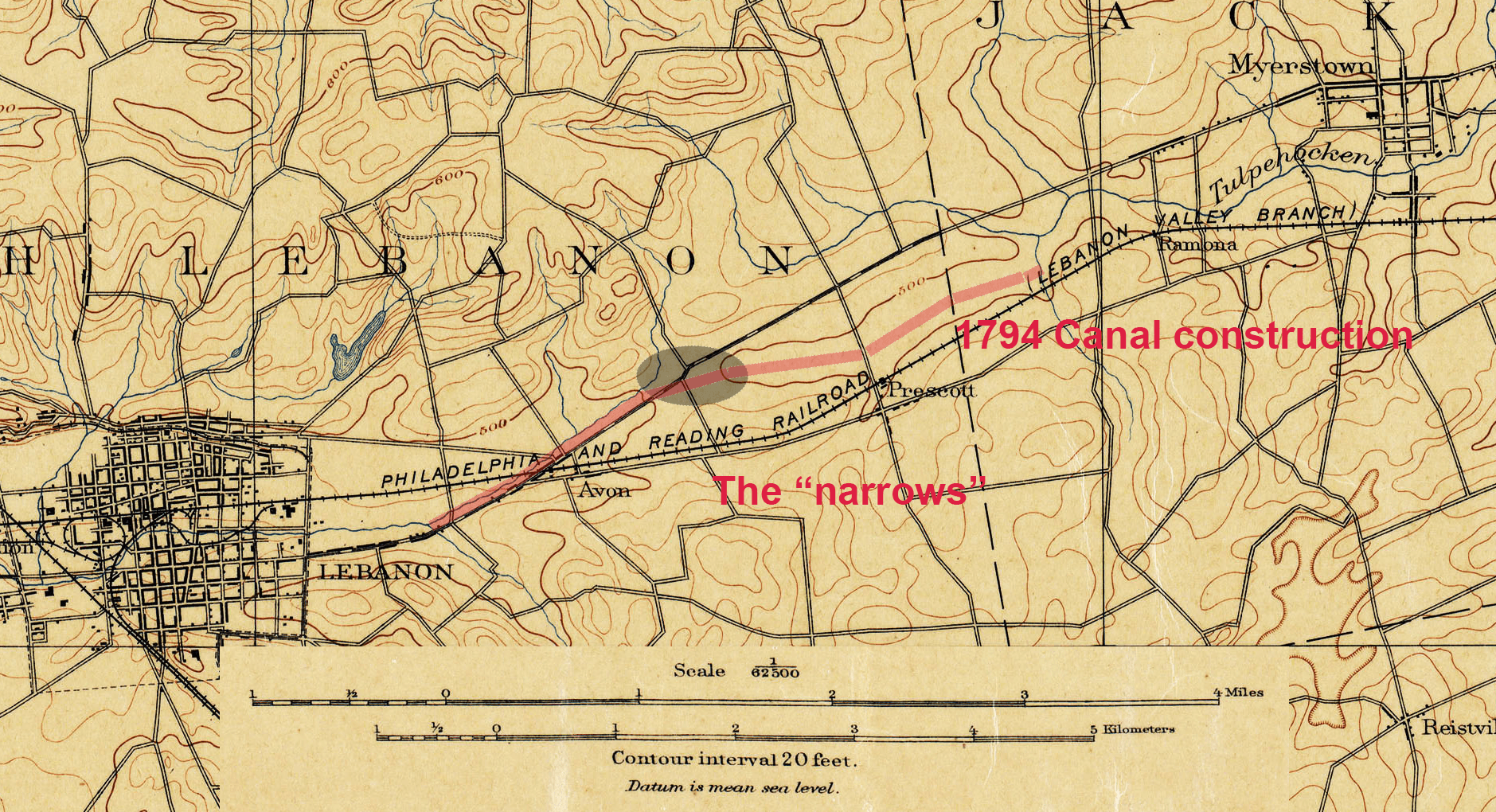
Description: US Government map from 1889 for Lebanon county Pennsylvania. It depicts the summit crossing for the Schuylkill and Susquehanna Navigation company construction in 1793-1794. It is highlighted to show canal alignment and references the "narrows" construction.
Title: 1889 USGS Lebanon County summit crossing topo
Credit: Own work
Author: Risk Engineer
Usage Terms: Creative Commons Attribution-Share Alike 4.0
License: CC BY-SA 4.0
License Link: https://creativecommons.org/licenses/by-sa/4.0
Attribution Required?: Yes
Image usage
The following page links to this image:

All content from Kiddle encyclopedia articles (including the article images and facts) can be freely used under Attribution-ShareAlike license, unless stated otherwise.