
Image: 1884 Industrial map of Turtle Creek watershed
Size of this preview: 800 × 426 pixels. Other resolutions: 320 × 171 pixels | 3,833 × 2,043 pixels.
Original image (3,833 × 2,043 pixels, file size: 11.09 MB, MIME type: image/png)
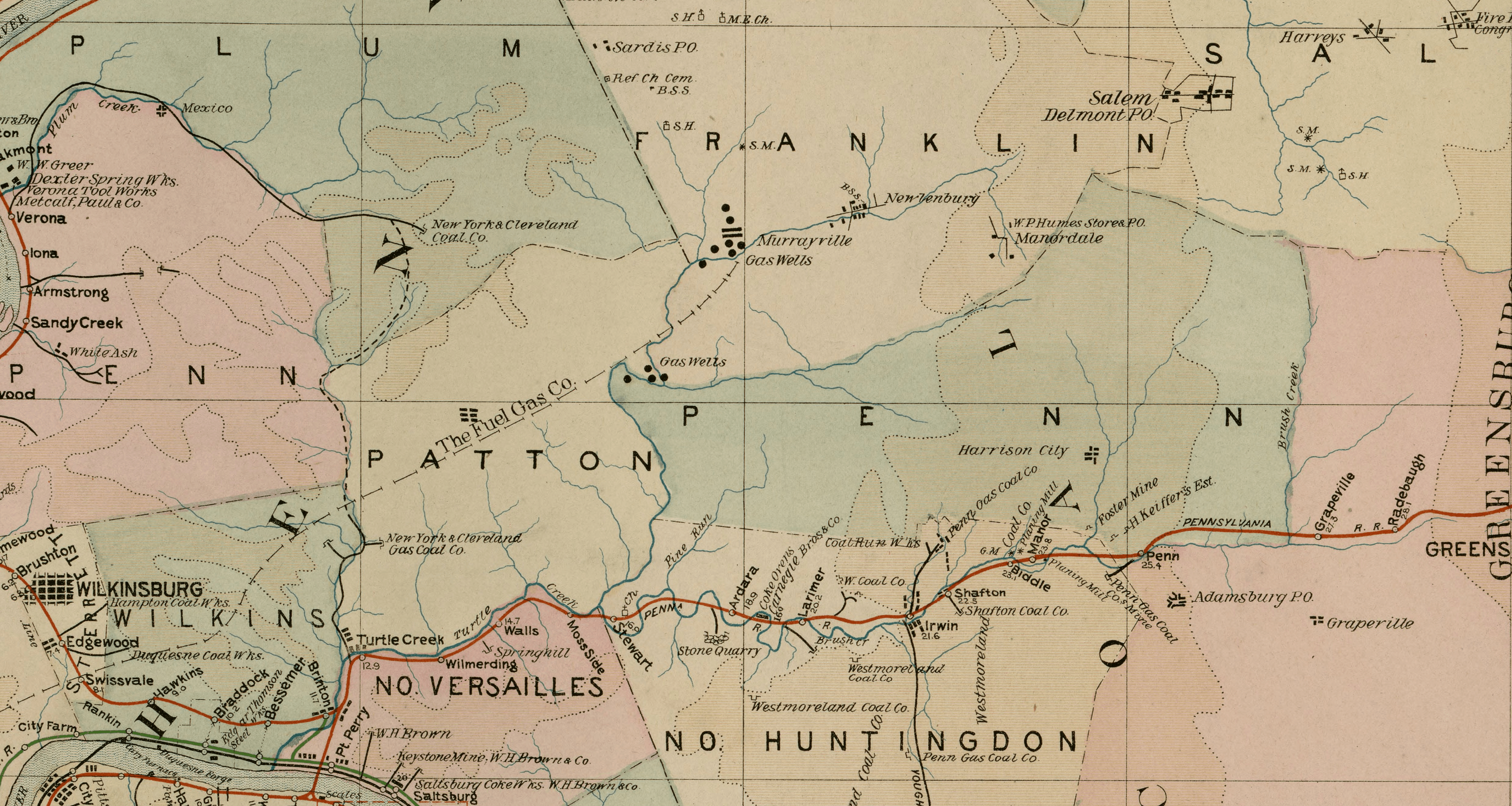
Description: A section of Lee's Map of the Industries of Western Pennsylvania. No. 1, being an indexed map of the Connellsville coke field and Pittsburgh gas coal beds, also showing the various transportation lines traversing this field and centering at Pittsburgh, PA
Title: 1884 Industrial map of Turtle Creek watershed
Credit: https://www.historicpittsburgh.org/islandora/object/pitt%3ADARMAP0822/from_search/-35
Author: Alex Y. Lee
Usage Terms: Public domain
License: Public domain
Attribution Required?: No
Image usage
The following page links to this image:

All content from Kiddle encyclopedia articles (including the article images and facts) can be freely used under Attribution-ShareAlike license, unless stated otherwise.