
Image: 1864 Luzerne County, PA Map

Size of this preview: 800 × 452 pixels. Other resolutions: 320 × 181 pixels | 2,537 × 1,434 pixels.
Original image (2,537 × 1,434 pixels, file size: 1.16 MB, MIME type: image/jpeg)
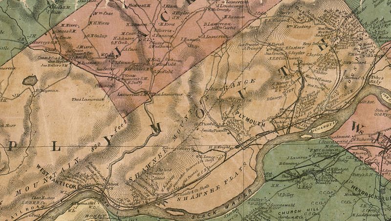
Description: The image is an excerpt of the 1864 Luzerne County, PA Map, showing the township of Plymouth, PA
Title: 1864 Luzerne County, PA Map
Credit: Original publication: Published by Lacoe & Schooley, New York, 1864. Immediate source: Library of Congress website
Author: David Schooley (Life time: Unknown)
Permission: The Map was published in 1864
Usage Terms: Public domain
License: Public domain
Attribution Required?: No
Image usage
The following page links to this image:

All content from Kiddle encyclopedia articles (including the article images and facts) can be freely used under Attribution-ShareAlike license, unless stated otherwise.