
Image: 1858 Anthracite Map Detail
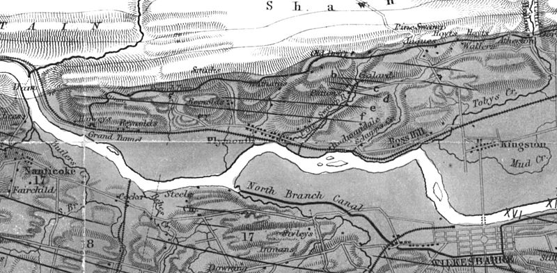
Size of this preview: 800 × 393 pixels. Other resolutions: 320 × 157 pixels | 1,800 × 884 pixels.
Original image (1,800 × 884 pixels, file size: 496 KB, MIME type: image/jpeg)
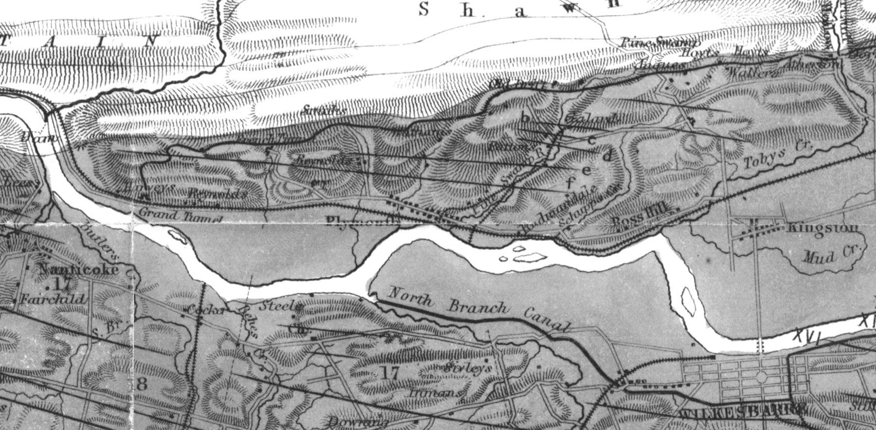
Description: A detail of the 1858 "Geological and Topographical Map of the Anthracite Fields of Pennsylvania," created by Henry D. Rogers, State Geologist.
Title: 1858 Anthracite Map Detail
Credit: Geological and Topographical Map of the Anthracite Fields of Pennsylvania
Author: Henry D. Rogers, State Geologist
Usage Terms: Public domain
License: Public domain
Attribution Required?: No
Image usage
The following page links to this image:

All content from Kiddle encyclopedia articles (including the article images and facts) can be freely used under Attribution-ShareAlike license, unless stated otherwise.