
Image: 1838 TremontRow map Tallis Boston BPLM8774
Size of this preview: 677 × 600 pixels. Other resolutions: 271 × 240 pixels | 804 × 712 pixels.
Original image (804 × 712 pixels, file size: 1.07 MB, MIME type: image/png)
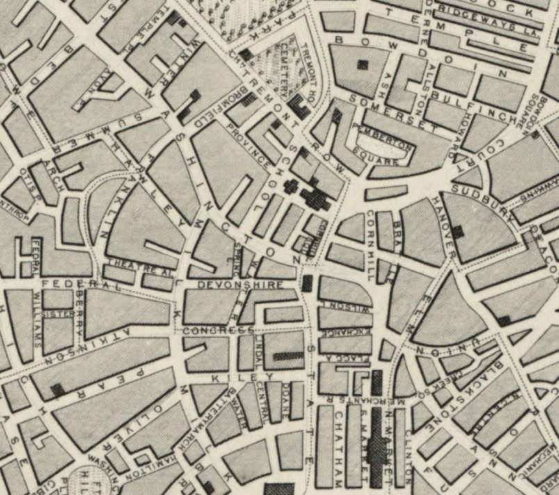
Description: Detail of map of Boston, showing area that would become "Government Center" in the 1960s.
Title: 1838 TremontRow map Tallis Boston BPLM8774
Credit: Boston Public Library. http://maps.bpl.org/details_M8774
Author: Tallis
Usage Terms: Public domain
License: Public domain
Attribution Required?: No
Image usage
The following page links to this image:

All content from Kiddle encyclopedia articles (including the article images and facts) can be freely used under Attribution-ShareAlike license, unless stated otherwise.