
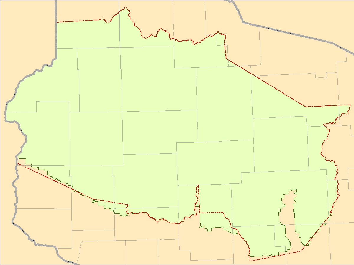
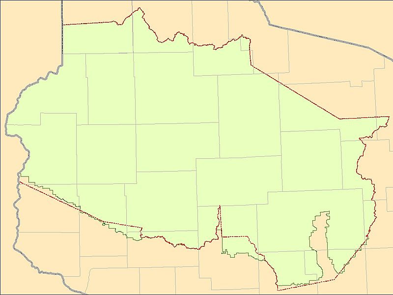
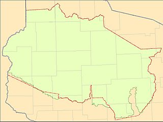
Image: 1837CT WI Voigt adjusted
Size of this preview: 800 × 600 pixels. Other resolutions: 320 × 240 pixels | 1,200 × 900 pixels.
Original image (1,200 × 900 pixels, file size: 213 KB, MIME type: image/jpeg)
Description: Map of the Wisconsin's portion of the 1837 w:Treaty of St. Peters land cession area, where the Voigt Decision boundary adjustments shown together with the original treaty boundaries.
Title: 1837CT WI Voigt adjusted
Credit: Own work
Author: CJLippert
Usage Terms: Creative Commons Attribution 3.0
License: CC BY 3.0
License Link: https://creativecommons.org/licenses/by/3.0
Attribution Required?: Yes
Image usage
The following page links to this image:

All content from Kiddle encyclopedia articles (including the article images and facts) can be freely used under Attribution-ShareAlike license, unless stated otherwise.