Image: 1797 Faden (Mousehold Heath)

Size of this preview: 800 × 566 pixels. Other resolutions: 320 × 226 pixels | 1,600 × 1,132 pixels.
Original image (1,600 × 1,132 pixels, file size: 1.08 MB, MIME type: image/jpeg)
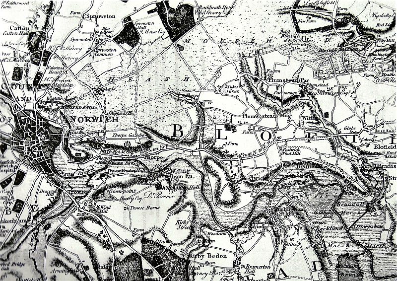
Description: An extract from Faden's Map of Norfolk, showing the area north-east of Norwich
Title: 1797 Faden (Mousehold Heath)
Credit: http://easternbushchat.blogspot.co.uk/2016/01/heathland-haven.html An extract from Faden's 1797 map of Norfolk
Author: William Faden, a cartographer, engraver and publisher of maps, who became geographer to King George III and to the Prince of Wales. Surveying for this map was carried out between 1790 and 1794.
Usage Terms: Creative Commons Attribution-Share Alike 4.0
License: CC BY-SA 4.0
License Link: https://creativecommons.org/licenses/by-sa/4.0
Attribution Required?: Yes
Image usage
The following page links to this image:

All content from Kiddle encyclopedia articles (including the article images and facts) can be freely used under Attribution-ShareAlike license, unless stated otherwise.
