
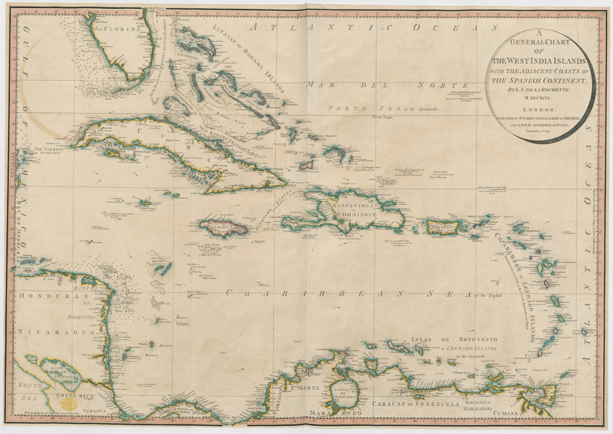
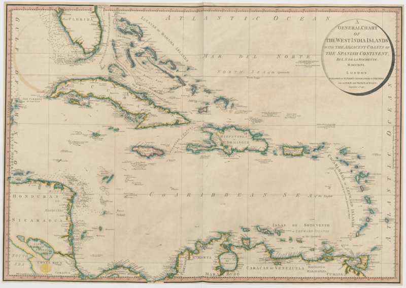
Image: 1796 map of the West Indies
Size of this preview: 800 × 567 pixels. Other resolutions: 320 × 227 pixels | 2,000 × 1,418 pixels.
Original image (2,000 × 1,418 pixels, file size: 2.03 MB, MIME type: image/png)
Description: Islands in the West Indies in 1796: "The map is colour coded to show which European country controlled which colonies. The British colonies have pink around their borders, the French blue and the Spanish yellow."
Title: 1796 map of the West Indies
Credit: British Library
Author: Louis Stanislas Gappian Delarochette (aka de Larochette, 1731-1802)
Usage Terms: Public domain
License: Public domain
Attribution Required?: No
Image usage
The following page links to this image:

All content from Kiddle encyclopedia articles (including the article images and facts) can be freely used under Attribution-ShareAlike license, unless stated otherwise.