
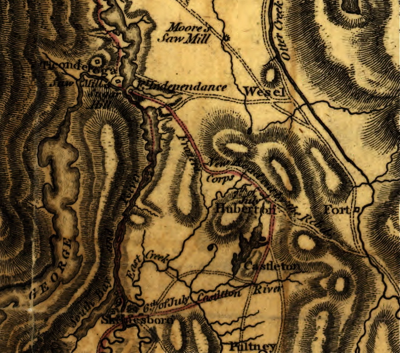
Image: 1780 map of the Hubbardton Military Road
Size of this preview: 678 × 599 pixels. Other resolutions: 272 × 240 pixels | 808 × 714 pixels.
Original image (808 × 714 pixels, file size: 442 KB, MIME type: image/jpeg)
Description: A 1780 map of the Hubbardton Military Road which originally appeared in General John Burgoyne's A State of the Expedition from Canada.
Title: 1780 map of the Hubbardton Military Road
Credit: Map from A State of the Expedition from Canada (1780) as found digitally on the Library of Congress website
Author: John Burgoyne / drawn by Mr. Medcalfe / engraved by William Faden
Usage Terms: Public domain
License: Public domain
Attribution Required?: No
Image usage
The following page links to this image:

All content from Kiddle encyclopedia articles (including the article images and facts) can be freely used under Attribution-ShareAlike license, unless stated otherwise.