Image: 1757 Celi

Size of this preview: 800 × 518 pixels. Other resolutions: 320 × 207 pixels | 6,800 × 4,400 pixels.
Original image (6,800 × 4,400 pixels, file size: 3.71 MB, MIME type: image/jpeg)
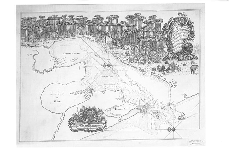
Description: The earliest known map of the Tampa Bay area. It is by Spanish explorer Don Francisco Maria Celi of the Spanish Royal Fleet, 1757. This copy is from the South Florida History Museum, the original is in the Museo Naval de Madrid, Spain. The river on the upper left of the map is the Hillsborough, the area designated as "El Pinal de la Cruz de Santa Teresa" is today in Temple Terrace. "El Salto" are the rapids at Hillsborough River State Park, where the journey ended. The map is oriented so that east is to the top.
Title: 1757 Celi
Credit: Public domain
Author: Unknown
Permission: Public domain
Usage Terms: Public domain
License: Public domain
Attribution Required?: No
Image usage
The following 2 pages link to this image:

All content from Kiddle encyclopedia articles (including the article images and facts) can be freely used under Attribution-ShareAlike license, unless stated otherwise.
