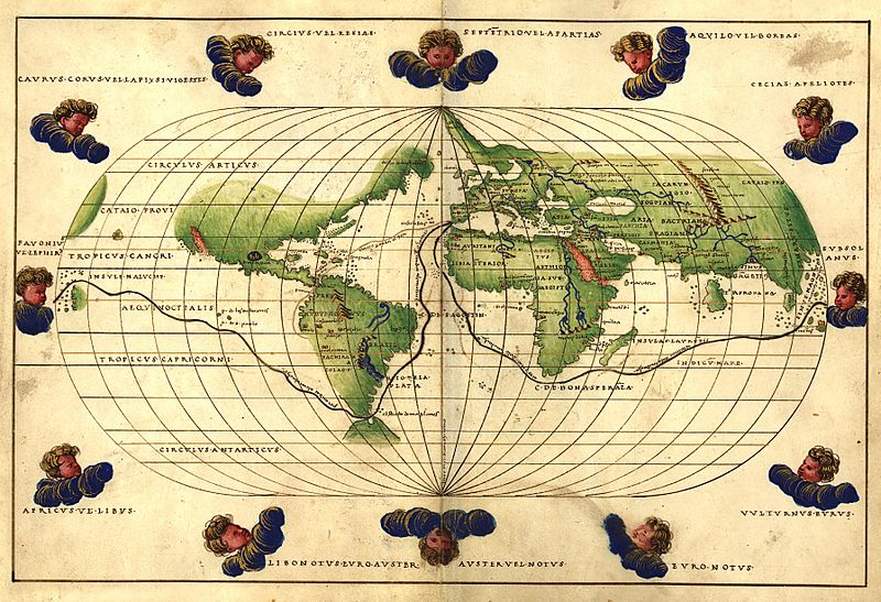
Image: 1544 Battista Agnese Worldmap

Size of this preview: 800 × 547 pixels. Other resolutions: 320 × 219 pixels | 3,585 × 2,450 pixels.
Original image (3,585 × 2,450 pixels, file size: 2.41 MB, MIME type: image/jpeg)
Description: Worldmap from the Portolan Atlas Dedicated to Hieronymus Ruffault, Abbot of St. Vaast. The map shows the world as it was known, the route that Magellan took around the world, and the route from Cadiz, Spain, to Peru, with overland portage across the Isthmus of Panama. This was the route of the treasure ships that carried vast amounts of silver from Peru to Spain.
Title: 1544 Battista Agnese Worldmap
Credit: Library of Congress, American Memory
Author: Battista Agnese
Usage Terms: Public domain
License: Public domain
Attribution Required?: No
Image usage
The following page links to this image:

All content from Kiddle encyclopedia articles (including the article images and facts) can be freely used under Attribution-ShareAlike license, unless stated otherwise.
