
Image: 02109jfMacArthur Highway San Fernando Pampanga sectionfvf 07
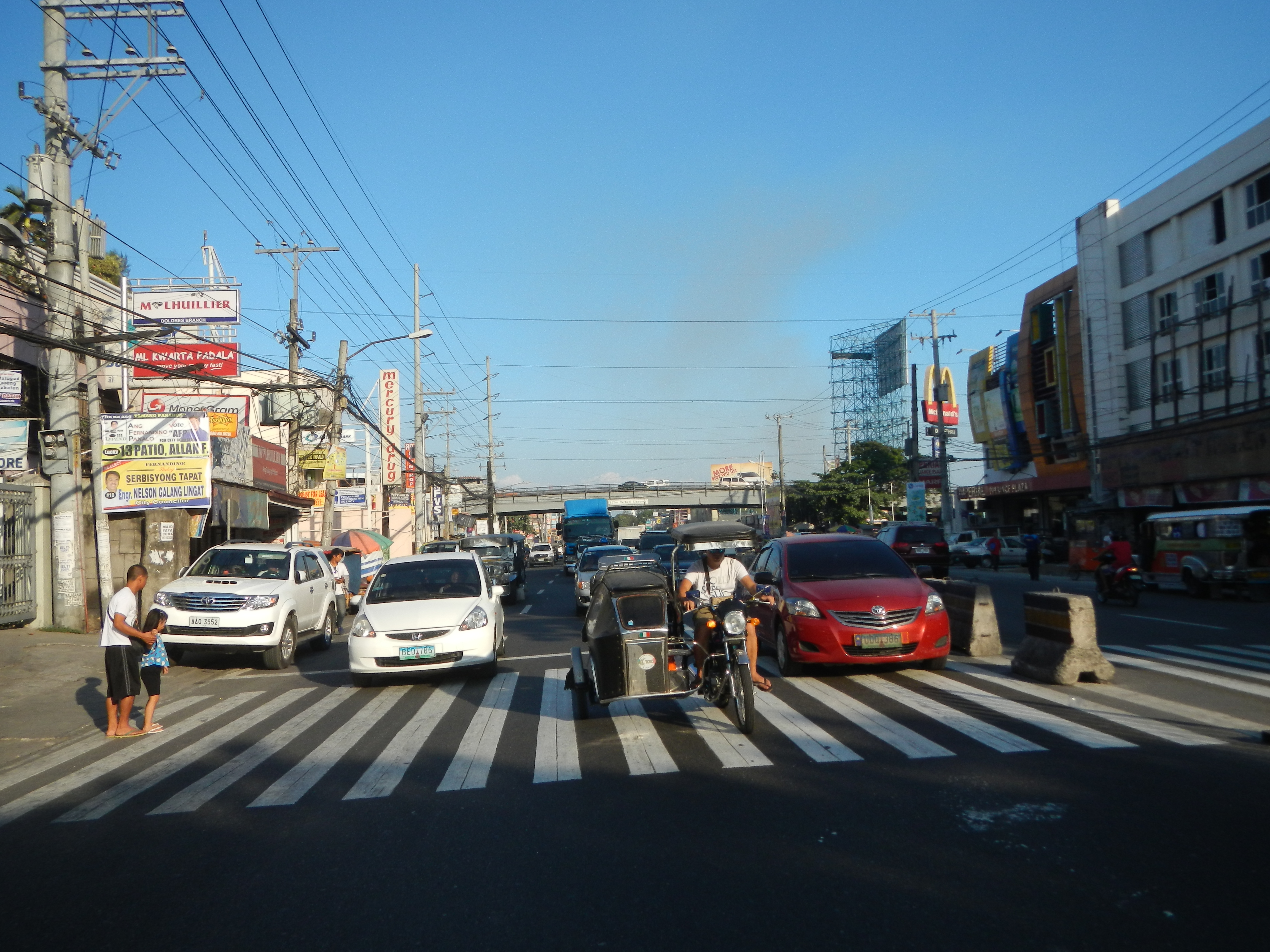
Description: MacArthur Highway (City of San Fernando, Pampanga section) of the MacArthur Highway or Manila North Road (San Fernando, Pampanga), in Radial Road 9 Barangay Dolores to Telabastagan, City of San Fernando, Pampanga Jose Abad Santos Avenue, Olongapo-Gapan Road (City of San Fernando, Pampanga section) from the Lazatin Flyover (San Fernando, Pampanga), Dolores - MacArthur Highway 5.25 Vertical Clearance latitude : 15.030798 longitude : 120.6755416 latlng : 15.030798,120.6755416 Central Lazatin Boulevard, San Fernando, Pampanga, near Kamagong Street, Guijo Street, City of San Fernando, Pampanga; this is an almost Sunset photography 2016 version of this Landmark historical section of the MacArthur Highway).
Title: 02109jfMacArthur Highway San Fernando Pampanga sectionfvf 07
Credit: Own work
Author: Judgefloro
Usage Terms: Public domain
License: Public domain
Attribution Required?: No
Image usage
The following page links to this image:
