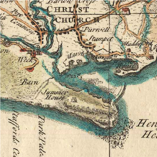
Image: --PD-self--File-Map of Hengistbury Head by Isaac Taylor 1759
--PD-self--File-Map_of_Hengistbury_Head_by_Isaac_Taylor_1759.jpg (499 × 499 pixels, file size: 186 KB, MIME type: image/jpeg)
Description: Hengistbury Head shown in Isaac Taylor's Map of Hampshire of 1759
Title: --PD-self--File-Map of Hengistbury Head by Isaac Taylor 1759
Credit: Original publication: Produced on commission of estate-owners of period Immediate source: http://www.geog.port.ac.uk/webmap/hantsmap/hantsmap/taylor4/ty12f.htm
Author: Isaac Taylor (Life time: 1788)
Permission: work is over 250 y.o ,
Usage Terms: Public domain
License: Public domain
Attribution Required?: No
Image usage
The following page links to this image:

All content from Kiddle encyclopedia articles (including the article images and facts) can be freely used under Attribution-ShareAlike license, unless stated otherwise.

