
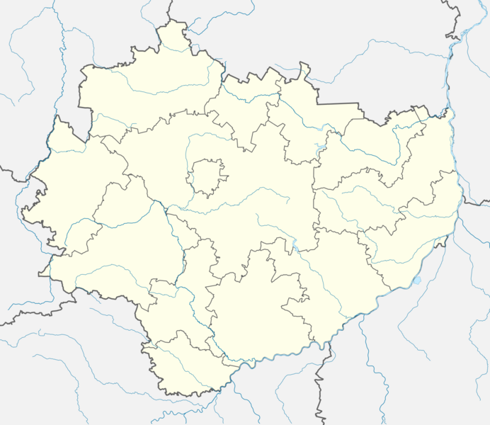
Image: Świętokrzyskie Voivodeship location map

Size of this PNG preview of this SVG file: 692 × 600 pixels. Other resolution: 277 × 240 pixels.
Original image (SVG file, nominally 1,600 × 1,387 pixels, file size: 446 KB)
Description: Location map of Świętokrzyskie Voivodeship. Geographic limits of the map: N: 51.4 N S: 50.1N W: 19.6 E E: 22 E
Title: Świętokrzyskie Voivodeship location map
Credit: Own work
Author: SANtosito
Usage Terms: Creative Commons Attribution-Share Alike 4.0
License: CC BY-SA 4.0
License Link: https://creativecommons.org/licenses/by-sa/4.0
Attribution Required?: Yes
Image usage
The following page links to this image:

All content from Kiddle encyclopedia articles (including the article images and facts) can be freely used under Attribution-ShareAlike license, unless stated otherwise.