Glenlusk, Tasmania facts for kids
Quick facts for kids GlenluskHobart, Tasmania |
|||||||||||||||
|---|---|---|---|---|---|---|---|---|---|---|---|---|---|---|---|
| Population | 200 (2016 census) | ||||||||||||||
| Postcode(s) | 7012 | ||||||||||||||
| Location | 8 km (5 mi) W of Glenorchy | ||||||||||||||
| LGA(s) | City of Glenorchy (94%), Derwent Valley Council (6%) | ||||||||||||||
| Region | South-east, Hobart | ||||||||||||||
| State electorate(s) | Clark | ||||||||||||||
| Federal Division(s) | Clark | ||||||||||||||
|
|||||||||||||||
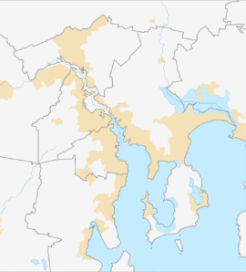
Glenlusk is a rural locality in the local government areas (LGA) of Derwent Valley (6%) and Glenorchy (94%) in the South-east and Hobart LGA regions of Tasmania. The locality is about 8 kilometres (5.0 mi) west of the town of Glenorchy. The 2016 census recorded a population of 200 for the state suburb of Glenlusk. It is a semi-rural suburb of Hobart. It is west of Chigwell.
History
Glenlusk was gazetted as a locality in 1961.
Geography
Sorell Creek forms part of the western boundary. Most of the boundaries are survey lines or ridge lines.
Road infrastructure
Route C615 (Glenlusk Road / Molesworth Road) runs through from east to west after following the eastern boundary for a short distance.

All content from Kiddle encyclopedia articles (including the article images and facts) can be freely used under Attribution-ShareAlike license, unless stated otherwise. Cite this article:
Glenlusk, Tasmania Facts for Kids. Kiddle Encyclopedia.

