Glendale, Kansas facts for kids
Quick facts for kids
Glendale, Kansas
|
|
|---|---|

Location within Saline County and Kansas
|
|

|
|
| Country | United States |
| State | Kansas |
| County | Saline |
| Elevation | 1,388 ft (423 m) |
| Time zone | UTC-6 (CST) |
| • Summer (DST) | UTC-5 (CDT) |
| ZIP code |
67425
|
| Area code | 785 |
| FIPS code | 20-26450 |
| GNIS ID | 476626 |
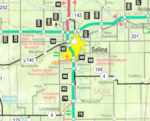
Glendale is an unincorporated community in Saline County, Kansas, United States. It is located about 15 miles (24 km) northwest of Salina, along the Kansas and Oklahoma Railroad line, at the intersection of N Brookville Rd and W Watkins Rd about 1.0 mile (1.6 km) north of I-70 interstate. It is the only community within the boundaries of the Glendale Township. There are no businesses or services located at Glendale.
Demographics
As a part of Saline County, Glendale is a part of the Salina micropolitan area.
Education
The community is served by Twin Valley USD 240 public school district.

All content from Kiddle encyclopedia articles (including the article images and facts) can be freely used under Attribution-ShareAlike license, unless stated otherwise. Cite this article:
Glendale, Kansas Facts for Kids. Kiddle Encyclopedia.
