Gáldar facts for kids
Quick facts for kids
Gáldar
|
|||
|---|---|---|---|
Gáldar
|
|||
|
|||
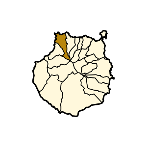
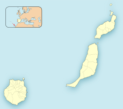
Municipal location in Gran Canaria
|
|||
| Country | |||
| Autonomous Community | |||
| Province | Las Palmas | ||
| Island | Gran Canaria | ||
| Area | |||
| • Total | 61.59 km2 (23.78 sq mi) | ||
| Elevation
(AMSL)
|
124 m (407 ft) | ||
| Population
(2018)
|
|||
| • Total | 24,209 | ||
| • Density | 393.07/km2 (1,018.04/sq mi) | ||
| Time zone | UTC+0 (CET) | ||
| • Summer (DST) | UTC+1 (CEST (GMT +1)) | ||
| Postal code |
35460
|
||
| Area code(s) | +34 (Spain) + 928 (Las Palmas) | ||
| Website | www.galdar.es | ||
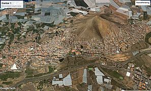
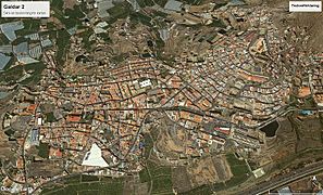
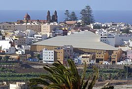
Gáldar is a town and a Spanish municipality in the north of the island of Gran Canaria in the Province of Las Palmas in the Canary Islands. Its population is 24,227 (2013), and the area is 61.59 km2 (23.78 sq mi).
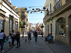
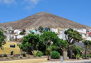
The town Gáldar is situated at the foot of the mountains, 2 km from the coast and 21 km (13 mi) west of Las Palmas. The GC-2 motorway passes south of the town. The municipality includes the settlements Puerto de Sardina, San Isidro, Los Quintanas, Barrial and Marmolejos. The main church is dedicated to Saint James.
It holds the Painted cave, a major archaeological site consisting of a remarkable painted cave and an entire pre-Hispanic village visited yearly by over 50,000 people.
Population
| Historical population | |||||||||||||||||||||||||||||||
|---|---|---|---|---|---|---|---|---|---|---|---|---|---|---|---|---|---|---|---|---|---|---|---|---|---|---|---|---|---|---|---|
|
|
||||||||||||||||||||||||||||||
Gallery
See also
 In Spanish: Gáldar para niños

All content from Kiddle encyclopedia articles (including the article images and facts) can be freely used under Attribution-ShareAlike license, unless stated otherwise. Cite this article:
Gáldar Facts for Kids. Kiddle Encyclopedia.


