Embarrass River (Minnesota) facts for kids
Quick facts for kids Embarrass River |
|
|---|---|
 |
|
|
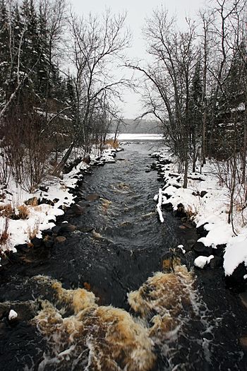
Mouth of the Embarrass River
|
|
| Country | United States |
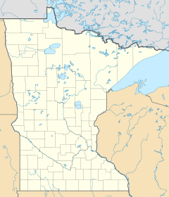
| State | Minnesota |
| County | St. Louis County |
| Physical characteristics | |
| Main source | Babbitt 47°41′46″N 91°59′50″W / 47.6960296°N 91.9971046°W |
| River mouth | Gilbert 47°23′32″N 92°24′52″W / 47.3921512°N 92.4143509°W |
| Length | 50.5-mile-long (81.3 km) |
| Basin features | |
| River system | Saint Louis River |
The Embarrass River is a 50.5-mile-long (81.3 km) tributary of the Saint Louis River in northern Minnesota, United States. It rises just west of the city of Babbitt and flows southwest, turning briefly south to thread a gap between the Embarrass Mountains to the east and the Mesabi Range to the west. The river flows into the Saint Louis River southeast of Eveleth. During the fur-trading days and the era of exploration, the river was part of a historic trade route from Lower Canada via Lake Superior, across the Height of Land, and down the Rainy River to Lake Winnipeg to the pays d'en haut—the fur-bearing regions of the Canadian northwest.
The river was so named on account of the many obstacles in the rivers to canoeists.

All content from Kiddle encyclopedia articles (including the article images and facts) can be freely used under Attribution-ShareAlike license, unless stated otherwise. Cite this article:
Embarrass River (Minnesota) Facts for Kids. Kiddle Encyclopedia.

