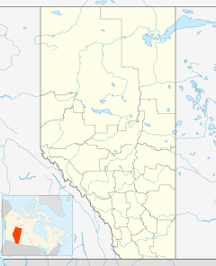
Elnora, Alberta facts for kids
Quick facts for kids
Elnora
|
|
|---|---|
|
Village
|
|
| Village of Elnora | |
| Country | Canada |
| Province | Alberta |
| Region | Central Alberta |
| Census division | 8 |
| Municipal district | Red Deer County |
| Incorporated | |
| • Village | July 22, 1929 |
| Area
(2021)
|
|
| • Land | 1.5 km2 (0.6 sq mi) |
| Elevation | 935 m (3,068 ft) |
| Population
(2021)
|
|
| • Total | 288 |
| • Density | 191.4/km2 (496/sq mi) |
| Time zone | UTC−7 (MST) |
| • Summer (DST) | UTC−6 (MDT) |
| Area code(s) | 403 |
| Highways | Highway 21 |
Elnora /ɛlˈnɔːrə/ is a village in central Alberta, Canada that is north of Three Hills. It was first organized as a village on January 2, 1908 as "Stewartville" but was renamed to Elnora (for Elinor & Nora, the wives of the postmasters) when the opening of a post office the next year required a unique name.
Demographics
In the 2021 Census of Population conducted by Statistics Canada, the Village of Elnora had a population of 288 living in 147 of its 156 total private dwellings, a change of -3.4% from its 2016 population of 298. With a land area of 1.5 km2 (0.58 sq mi), it had a population density of 192.0/km2 (497/sq mi) in 2021.
In the 2016 Census of Population conducted by Statistics Canada, the Village of Elnora recorded a population of 298 living in 144 of its 160 total private dwellings, a -4.8% change from its 2011 population of 313. With a land area of 1.47 km2 (0.57 sq mi), it had a population density of 202.7/km2 (525/sq mi) in 2016.


