Echo Lake (Charleston, Vermont) facts for kids
Quick facts for kids Echo Lake |
|
|---|---|
| Location | Charleston, Vermont, United States |
| Coordinates | 44°51′40″N 71°59′40″W / 44.86111°N 71.99444°W |
| Primary outflows | Clyde River |
| Max. length | 1.5 mi (2.4 km) |
| Max. width | 0.75 mi (1.21 km) |
| Surface area | 530 acres (2.1 km2) |
| Max. depth | 129 ft (39 m) |
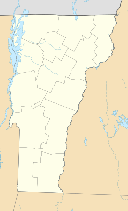
Echo Lake is located in the town of Charleston in Orleans County, Vermont within a region known as the Northeast Kingdom. It is one of only two deep, cold, and oligotrophic lakes in the Clyde River system, the other being nearby Lake Seymour. The first Surveyor General of Vermont, Whitelaw, gave it the name of Echo Pond because when any sound was produced in its vicinity it was reverberated in various directions, producing a series of echoes.
The freshwater lake covers 530 acres (2.1 km2) and is 1.5 miles (2.4 km) long and 0.75 miles (1.21 km) at its widest; its maximum depth is 129 feet (39 m). The lake is fed by the outlet from Lake Seymour. The lake empties into the Clyde River, Lake Memphremagog and, eventually, Canada's St. Lawrence River.
A dam is used for hydroelectric power. Construction was completed in 1922. It is owned by Citizens Utilities Company. The dam is concrete. The core is homogeneous concrete. The foundation is rock. The height is 16 feet (4.9 m) by 120 feet (37 m). Maximum discharge is 693 cubic feet (19.6 m3) per second. Its capacity is 5,000 acre-feet (6,200,000 m3). Normal storage is 3,180 acre-feet (3,920,000 m3). It drains an area of 24 square miles (62 km2). The dam was reconstructed in 1984.
The lake is a coldwater fishery supporting rainbow trout, lake trout, yellow perch, smallmouth bass and burbot. There are crayfish storks seagulls trouts cat tails and fish. The temperature depends on what season it is.


