Eastport, Idaho facts for kids
Quick facts for kids
Eastport, Idaho
|
|
|---|---|

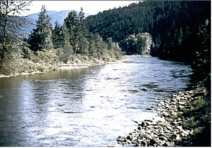
Section of the Moyie River in Eastport
|
|
| Country | United States |
| State | Idaho |
| County | Boundary |
| Elevation | 2,628 ft (801 m) |
| Time zone | UTC-8 (Pacific (PST)) |
| • Summer (DST) | UTC-7 (PDT) |
| ZIP code |
83826
|
| Area code(s) | 208, 986 |
| GNIS feature ID | 396438 |
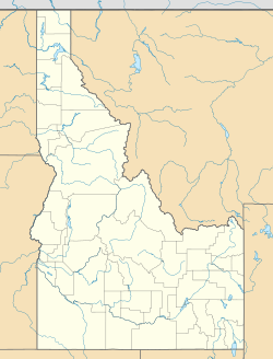
Eastport is an unincorporated community in Boundary County, Idaho, United States. Eastport is located at the Canada–US border along U.S. Route 95, across from Kingsgate, British Columbia and 19 miles (31 km) north of Moyie Springs. It is connected to Canada by the Eastport-Kingsgate Border Crossing. Eastport has a post office with ZIP code 83826.
History
Eastport's population was 50 in 1909, and was estimated at 100 in 1960.

All content from Kiddle encyclopedia articles (including the article images and facts) can be freely used under Attribution-ShareAlike license, unless stated otherwise. Cite this article:
Eastport, Idaho Facts for Kids. Kiddle Encyclopedia.


