Devils Bedstead East facts for kids
Quick facts for kids Devil's Bedstead East |
|
|---|---|
| Highest point | |
| Elevation | 11,865 ft (3,616 m) |
| Prominence | 825 ft (251 m) |
| Geography | |
| Location | Custer County, Idaho, U.S. |
| Parent range | Pioneer Mountains |
| Topo map | USGS Phi Kappa Mountain |
| Climbing | |
| Easiest route | Scramble, class 3 |
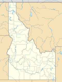
Devil's Bedstead East, at 11,865 feet (3,616 m) above sea level is the fifth-highest peak in the Pioneer Mountains of the U.S. state of Idaho. The peak is located Salmon-Challis National Forest in Custer County about 1.5 miles (2.4 kilometers) north of the Blaine County border and 1.75 miles (2.82 kilometers) north-northeast of Goat Mountain. It is the 21st-highest peak in Idaho.

All content from Kiddle encyclopedia articles (including the article images and facts) can be freely used under Attribution-ShareAlike license, unless stated otherwise. Cite this article:
Devils Bedstead East Facts for Kids. Kiddle Encyclopedia.
