Darbalara, New South Wales facts for kids
Quick facts for kids DarbalaraNew South Wales |
|
|---|---|

Darbalara
|
|
| Postcode(s) | 2722 |
| Elevation | 303 m (994 ft) |
| Location | |
| LGA(s) | Cootamundra-Gundagai Regional Council |
| County | Buccleuch |
| State electorate(s) | Cootamundra |
| Federal Division(s) | Riverina |
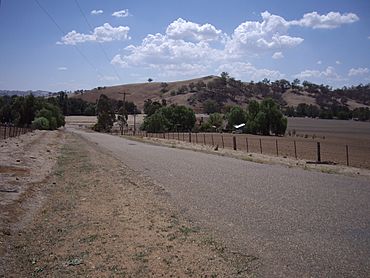
Darbalara is a rural community on the east bank of the junction of the Murrumbidgee River and Tumut River in the Riverina. It is situated by road, about 25 kilometres north east of Gundagai and 25 kilometres south of Coolac.
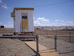
There are no public buildings in Darbalara other than the telephone exchange. A number of properties running sheep and cattle are located in the area.
Darbalara Post Office opened on 25 April 1912 and closed in 1962.
Darbalara is within Wagara Parish a civil parish of Buccleuch County, New South Wales.

All content from Kiddle encyclopedia articles (including the article images and facts) can be freely used under Attribution-ShareAlike license, unless stated otherwise. Cite this article:
Darbalara, New South Wales Facts for Kids. Kiddle Encyclopedia.


