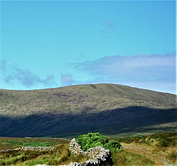
Coran of Portmark facts for kids
Quick facts for kids Coran of Portmark |
|
|---|---|
 |
|
| Highest point | |
| Elevation | 623 m (2,044 ft) |
| Prominence | 61 m (200 ft) |
| Listing | Tu,Sim, D,GT,DN |
| Naming | |
| English translation | Scottish Gaelic: Round Hill (or Hook) of Portmark |
| Geography | |
| Location | Dumfries and Galloway, Scotland |
| Parent range | Rhinns of Kells, Galloway Hills |
| OS grid | NX 50930 93667 |
| Topo map | OS Landranger 77 |
Coran of Portmark is a hill in the Rhinns of Kells, a sub-range of the Galloway Hills range, part of the Southern Uplands of Scotland. The most northerly Donald of the range, it is climbed from a number of directions; most commonly from Garryhorn near Carsphairn, often the first hill of a full traverse of the ridge. An old settlement to the west lends its name to the hill.

All content from Kiddle encyclopedia articles (including the article images and facts) can be freely used under Attribution-ShareAlike license, unless stated otherwise. Cite this article:
Coran of Portmark Facts for Kids. Kiddle Encyclopedia.