Clover Creek (Bruneau River tributary) facts for kids
Quick facts for kids Clover Creek |
|
|---|---|
|
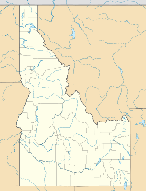
Location of the mouth of Clover Creek in Idaho
|
|
| Country | United States |
| State | Idaho |
| County | Owyhee County, Idaho |
| Physical characteristics | |
| Main source | Owyhee County, Idaho 5,229 ft (1,594 m) 42°09′28″N 115°12′43″W / 42.15778°N 115.21194°W |
| River mouth | Bruneau River Bruneau – Jarbidge Rivers Wilderness, Owyhee County, Idaho 3,218 ft (981 m) 42°34′35″N 115°38′07″W / 42.57639°N 115.63528°W |
| Length | 55 mi (89 km) |
Clover Creek (previously East Fork Bruneau River) is a 55-mile (89 km) long tributary of the Bruneau River in the U.S. state of Idaho. Beginning at an elevation of 5,229 feet (1,594 m) in southeastern Owyhee County, it flows generally northwest through East Fork Bruneau Canyon to its mouth in the Bruneau – Jarbidge Rivers Wilderness, at an elevation of 3,218 feet (980.8 m).

All content from Kiddle encyclopedia articles (including the article images and facts) can be freely used under Attribution-ShareAlike license, unless stated otherwise. Cite this article:
Clover Creek (Bruneau River tributary) Facts for Kids. Kiddle Encyclopedia.


