Chatuge Lake facts for kids
Quick facts for kids Lake Chatuge |
|
|---|---|

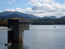
Fishermen on Lake Chatuge with Appalachian Mountains in background.
|
|
| Location | United States |
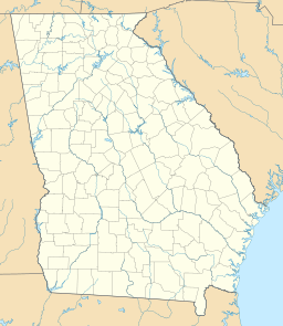
| Coordinates | 34°59′28″N 83°47′06″W / 34.991°N 83.785°W |
| Surface area | 10.9 sq mi (28 km2) |
| Average depth | 9.1 m (30 ft) |
| Max. depth | 44 m (144 ft) at dam |
| Water volume | 62,619 m3 (2,211,400 cu ft) maximum |
| Shore length1 | 132 mi (212 km) |
| Surface elevation | 1,926 ft (587 m) |
| Settlements | Hayesville, Hiawassee, |
| 1 Shore length is not a well-defined measure. | |
Lake Chatuge is a man-made reservoir created by the Chatuge Dam which finished construction in 1942. The lake is relatively shallow with depths of 30 feet (9.1 m) and reaches 144 feet (44 m) by the dam. Lake Chatuge is the highest major lake in the state of Georgia.

All content from Kiddle encyclopedia articles (including the article images and facts) can be freely used under Attribution-ShareAlike license, unless stated otherwise. Cite this article:
Chatuge Lake Facts for Kids. Kiddle Encyclopedia.


