Casto Creek facts for kids
Quick facts for kids Casto Creek |
|
|---|---|
|
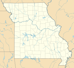
Location of the mouth within Missouri
|
|
| Country | United States |
| State | Missouri |
| Region | Douglas County |
| Physical characteristics | |
| Main source | Approximately 1,470 ft (450 m) 37°03′14″N 92°39′42″W / 37.05389°N 92.66167°W |
| River mouth | 1,109 ft (338 m) 36°59′14″N 92°42′11″W / 36.98722°N 92.70306°W. |
Casto Creek is a stream in northwest Douglas County, Missouri. The headwaters of Casto Creek are north of Ava within one half mile of the Douglas - Wright county line. The stream flows south roughly paralleling Missouri Route B then turns to the southwest west of the community of Mount Zion. The stream continues to the southwest meeting its confluence with Cowskin Creek just north of Missouri Route 14 about three miles west of Ava.
Casto Creek has the name of the local Casto family which settled near it.

All content from Kiddle encyclopedia articles (including the article images and facts) can be freely used under Attribution-ShareAlike license, unless stated otherwise. Cite this article:
Casto Creek Facts for Kids. Kiddle Encyclopedia.

