Castleton, Kansas facts for kids
Quick facts for kids
Castleton, Kansas
|
|
|---|---|

|
|
| Country | United States |
| State | Kansas |
| County | Reno |
| Elevation | 1,467 ft (447 m) |
| Time zone | UTC-6 (CST) |
| • Summer (DST) | UTC-5 (CDT) |
| FIPS code | 20-11000 |
| GNIS ID | 473798 |
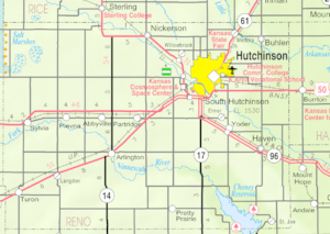
Castleton is an unincorporated community in Reno County, Kansas, United States. It is located northeast of Pretty Prairie between Castleton Road and North Fork Ninnescah River.
History
Castleton was a station and shipping point on the Hutchinson & Blackwell division of the Atchison, Topeka and Santa Fe Railway. It was originally platted by Clinton C. Hutchinson around 1871.
The post office was established December 6, 1872, remained in operation until it was discontinued on June 28, 1957. In 1971, the post office building was moved to the Barton County Historical Society Museum and Village in Great Bend, Kansas.
Education
The community is served by Pretty Prairie USD 311 public school district.
Castleton High School closed in 1954, the mascot was the Pirates, colors red & blue. Castleton Grade School closed in 1970, most students transferred to Pretty Prairie school district.
Notable people
- Larry Foss, former MLB with the Pittsburgh Pirates and New York Mets.


