Canoe Lake (Saskatchewan) facts for kids
Quick facts for kids Canoe Lake |
|
|---|---|

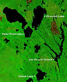
NASA map showing Canoe Lake
|
|
| Location | Saskatchewan |
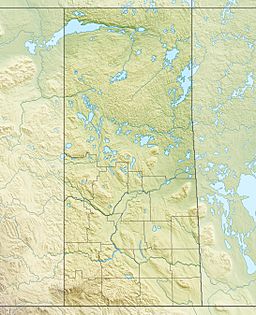
| Coordinates | 55°10′00″N 108°15′03″W / 55.16667°N 108.25083°W |
| Primary inflows | Arseneault Lake, Macallum Lake from the west |
| Primary outflows | Canoe River to Lac Île-à-la-Crosse |
| Catchment area | Churchill River |
| Basin countries | Canada |
| Islands | Cole Island |
| Settlements | Canoe Narrows, Cole Bay, Jans Bay |
Canoe Lake is a lake in northwestern Saskatchewan, Canada. Settlements on the lake include Canoe Narrows, Cole Bay, Jans Bay. The lake is accessed by Hwy 965 and Hwy 903.
To the west of the lake is the Primrose Lake Air Weapons Range. The Canoe River flows east from the lake to Lac Île-à-la-Crosse.

All content from Kiddle encyclopedia articles (including the article images and facts) can be freely used under Attribution-ShareAlike license, unless stated otherwise. Cite this article:
Canoe Lake (Saskatchewan) Facts for Kids. Kiddle Encyclopedia.
