Camas Creek (Clark and Jefferson counties, Idaho) facts for kids
This page is about the tributary of Mud Lake (Jefferson County, Idaho). For other uses, see Camas Creek.
Quick facts for kids Camas Creek |
|
|---|---|
|
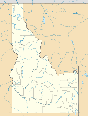
Location of the mouth of Camas Creek in Idaho
|
|
| Country | United States |
| State | Idaho |
| Counties | Clark County, Idaho, Jefferson County, Idaho |
| Physical characteristics | |
| Main source | near Kilgore, Clark County, Idaho 6,287 ft (1,916 m) 44°21′52″N 111°53′36″W / 44.36444°N 111.89333°W |
| River mouth | Mud Lake northeast of Mud Lake, Jefferson County, Idaho 4,783 ft (1,458 m) 43°53′24″N 112°21′32″W / 43.89000°N 112.35889°W |
| Length | 63 mi (101 km) |
| Basin features | |
| Basin size | 1,011 sq mi (2,620 km2) |
Camas Creek is a 63-mile (101 km) long stream in southeastern Idaho, United States, that is a tributary of Mud Lake.
Description
Beginning at an elevation of 6,287 feet (1,916 m) near Kilgore in northeastern Clark County, it flows southwest into Jefferson County and receives its largest tributary, Beaver Creek. It then passes through the Camas National Wildlife Refuge, and reaches its mouth northeast of the town of Mud Lake, at an elevation of 4,783 feet (1,458 m). Camas Creek has a 1,011-square-mile (2,618 km2) watershed.

All content from Kiddle encyclopedia articles (including the article images and facts) can be freely used under Attribution-ShareAlike license, unless stated otherwise. Cite this article:
Camas Creek (Clark and Jefferson counties, Idaho) Facts for Kids. Kiddle Encyclopedia.


