Caleta Olivia facts for kids
Quick facts for kids
Caleta Olivia
|
|
|---|---|
|
City and Port
|
|
 |
|
| Country | |
| Province | |
| Department | Deseado |
| Founded | November 20, 1901 |
| Founded by | Exequiel Guttero |
| Area | |
| • Total | 55 km2 (21 sq mi) |
| Elevation | 13 m (43 ft) |
| Population
(2010 census)
|
|
| • Total | 51,733 |
| • Density | 941/km2 (2,436/sq mi) |
| Time zone | UTC-3 (ART) |
| CPA base |
Z9011
|
| Dialing code | +54 297 |
| Climate | BSk |
| Website | Official website: http://www.caletaolivia.gov.ar/ |
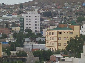
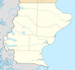
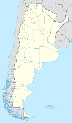
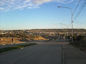
Caleta Olivia is a city located at the northeast of the Argentine province of Santa Cruz, on the San Jorge Gulf by the Atlantic Ocean. It had a population of 70,304 in the 2010 census [INDEC]. It is the second most important city of the province after Rio Gallegos, and the most populated of the Deseado Department.
The city was founded on November 20, 1901, by Navy Lieutenant Exequiel Guttero, captain of the Guardia Nacional, a ship that was transporting cables, equipment, and workers for the construction of a telegraph line south of Comodoro Rivadavia. The settlement was given the name of his wife Olivia (caleta means "small bay", "inlet").
The main economic activities around the city are petroleum, sheep and fishing. Its port serves both as a fishing centre, and as an export point for locally produced goods.
Among the monuments of the city, probably the most characteristic is that of "El Gorosito," built to honour a petroleum industry worker.
Climate
The city has a cold semi-arid climate (Köppen climate classification BSk) with warm summers and cold winters. Precipitation is sparse, averaging 200.7 mm (8 in) a year.
Despite the southern latitude, the city has moderate temperatures due to the regulation of the ocean, with beaches visited during sunny days in summer, where different water and sand sports are practiced.
| Climate data for Caleta Olivia | |||||||||||||
|---|---|---|---|---|---|---|---|---|---|---|---|---|---|
| Month | Jan | Feb | Mar | Apr | May | Jun | Jul | Aug | Sep | Oct | Nov | Dec | Year |
| Daily mean °C (°F) | 18.3 (64.9) |
17.8 (64.0) |
15.6 (60.1) |
12.4 (54.3) |
8.6 (47.5) |
5.7 (42.3) |
5.5 (41.9) |
7.0 (44.6) |
9.3 (48.7) |
12.1 (53.8) |
15.2 (59.4) |
17.1 (62.8) |
12.1 (53.8) |
| Average precipitation mm (inches) | 13.8 (0.54) |
13.9 (0.55) |
17.8 (0.70) |
19.7 (0.78) |
26.1 (1.03) |
21.4 (0.84) |
23.1 (0.91) |
19.6 (0.77) |
10.5 (0.41) |
12.0 (0.47) |
10.3 (0.41) |
12.5 (0.49) |
200.7 (7.90) |
| Average precipitation days | 3.8 | 3.7 | 3.6 | 4.7 | 6.2 | 5.6 | 5.4 | 5.6 | 4.4 | 4.4 | 3.9 | 5.0 | 56.3 |
| Average relative humidity (%) | 41.8 | 44.0 | 48.0 | 52.3 | 61.2 | 64.2 | 63.3 | 58.5 | 52.5 | 47.3 | 42.7 | 41.0 | 51.4 |
| Percent possible sunshine | 50.4 | 54.3 | 48.6 | 45.5 | 42.9 | 41.9 | 41.9 | 44.4 | 45.7 | 49.2 | 51.3 | 48.6 | 47.1 |
| Source: Weatherbase | |||||||||||||
See also
 In Spanish: Caleta Olivia para niños


