Bloody River (Canada) facts for kids
Quick facts for kids Bloody River |
|
|---|---|
| Country | Canada |
| Physical characteristics | |
| River mouth | Great Bear Lake |
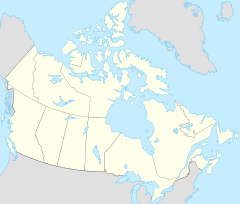
Bloody River is a river of the North American Arctic tundra in Nunavut and the Northwest Territories, Canada. It flows into the Dease Arm of Great Bear Lake in the Northwest Territories at approximately 66°56′01″N 120°34′07″W / 66.93361°N 120.56861°W.
An outcrop of Saline River gypsum was noted near Bloody River, 67°57′N 119°31′W / 67.950°N 119.517°W (NTS 86 M)* +27.2 15. W. Kupsch "found tails of till-covered bedrock behind eroded rock bosses and referred to such compound landforms as crag-and-tail drumlins" west of Bloody River.

All content from Kiddle encyclopedia articles (including the article images and facts) can be freely used under Attribution-ShareAlike license, unless stated otherwise. Cite this article:
Bloody River (Canada) Facts for Kids. Kiddle Encyclopedia.

