Black Butte (Madison County, Montana) facts for kids
Quick facts for kids Black Butte |
|
|---|---|
| Pyroxene Butte | |

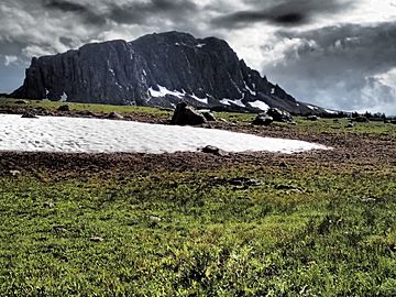
Southeast face Black Butte
|
|
| Highest point | |
| Elevation | 10,547 ft (3,215 m) |
| Prominence | 3,182 ft (970 m) |
| Geography | |
| Parent range | Gravelly Range |
| Topo map | Big Horn Mountain |
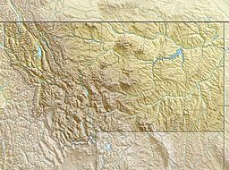
Black Butte, el. 10,547 feet (3,215 m) is the highest peak in the Gravelly Range in Madison County, Montana. The eastern base of the peak is less than 1 mile (1.6 km) from the Beaverhead-Deerlodge National Forest road #290 (Gravelly Range Road).

All content from Kiddle encyclopedia articles (including the article images and facts) can be freely used under Attribution-ShareAlike license, unless stated otherwise. Cite this article:
Black Butte (Madison County, Montana) Facts for Kids. Kiddle Encyclopedia.
